What is recorded here
Calluragh Burial Ground: This enclosed burial ground is of approximately triangular plan and overlooks Darrynane Bay to SW. It was recorded in the late nineteenth century that it was still in use for the burial of unbaptised children (OSRNB). Measuring 23m N-S x 21.8m E-W internally, it is enclosed by a poorly preserved drystone wall. This is best visible at N, where block-like slabs form inner and outer facings to its rubble core. Here it averages 1.35m wide and survives to only one or two courses high. Elsewhere the enclosing element is mostly obscured by later walling. The overgrown interior has a dense concentration of loose stone and boulders. Some low upright slabs are arranged in N-S rows, but most appear to be haphazardly positioned.
The above description is derived from A. O'Sullivan and J. Sheehan (compilers), 'The Iveragh peninsula: an archaeological survey of South Kerry'. Cork University Press (1996), no. 985. In certain instances the entries have been revised and updated in the light of recent research.
Date of upload: 30 July 2013
Neolithic passage tomb; dates to the 4th–3rd millennium BCE. Its continued use into more recent times for the burial of unbaptised individuals highlights its long-standing cultural and spiritual significance in the local community.
The monument record does not grant public access. Check the route and ask the landowner before entering private land.
- What survives
- Recorded monument
Places near here
 IndicatedFairy fort / stone ringfort · 1 yd
 Enclosure in CaherdanielEnclosure · 96 yd
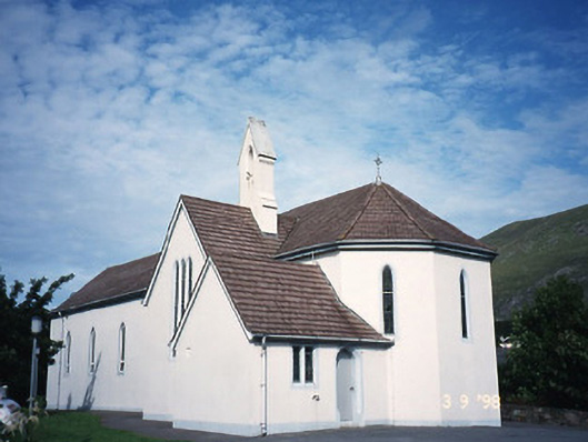 Saint Crohan's Catholic Churchchurch/chapel · 679 yd
 Ogham StoneVisitor information · 1427 yd
 Cahernageeha MountainMountain / peak · 1.0 mi
 Derrynane House / Teach Dhoire FhionáinHeritage attraction · 1.2 mi
 Teach Dhoire Fhíonáin [Derrynane House]country house · 1.2 mi
 Trá An Ráth / Rath BeachBeach / strand · 1.2 mi
 Páirc Náisiúnta Stairiúil Dhoire Fhíonáin / Derrynane National Historic ParkNature reserve · 1.2 mi
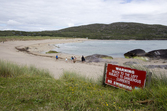 Derrynane Beach / Trá Doire FhíonáinBeach / strand · 1.3 mi
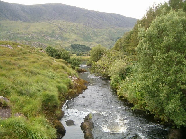 Eagle HillMountain / peak · 1.4 mi
 Lamb's IslandIslet · 2.0 mi