What is recorded here
Map note: Find the recorded point for Calderwood Linn, a waterfall near Auchentibber, South Lanarkshire, Scotland. See the mapped point and what else lies nearby.
From OpenStreetMap (© OpenStreetMap contributors) n4988379521
Places near here
Photo credits
- G Laird, Wikimedia Commons · CC BY-SA 2.0
- Maker not stated on source page, bojkot.livejournal.com
- Maker not stated on source page, www.tripadvisor.co.uk
- Maker not stated on source page, www.last.fm
- Maker not stated on source page, www.flickr.com
- wrobison, Wikimedia Commons · CC BY-SA 2.0
- Stephen Sweeney, Wikimedia Commons · CC BY-SA 2.0
- Alex McGregor, Wikimedia Commons · CC BY-SA 2.0
- Maker not stated on source page, uk.directmap.info
- Maker not stated on source page, www.absoluteescapes.com
- Iain Thompson, Wikimedia Commons · CC BY-SA 2.0
 Calderwood CastleTower House (medieval) · 276 yd
 Craigneith CastleCastle · 400 yd
 East Kilbride, Brancumhall Road, St Leonard's Roman Catholic ChurchChurch (20th Century) · 432 yd
 Silent Woods (fragment)Wood · 468 yd
 Sandy BaysBeach / strand · 524 yd
 Glen Esk Urban GreenspacePark · 598 yd
 AuchentibberWood · 815 yd
 CalderglenFarmstead · 926 yd
 Prehistoric linear earthworkArchaeological place · 1230 yd
 East Kilbride, High Common Road, Claremont Parish ChurchChurch (mid 20th Century) · 1278 yd
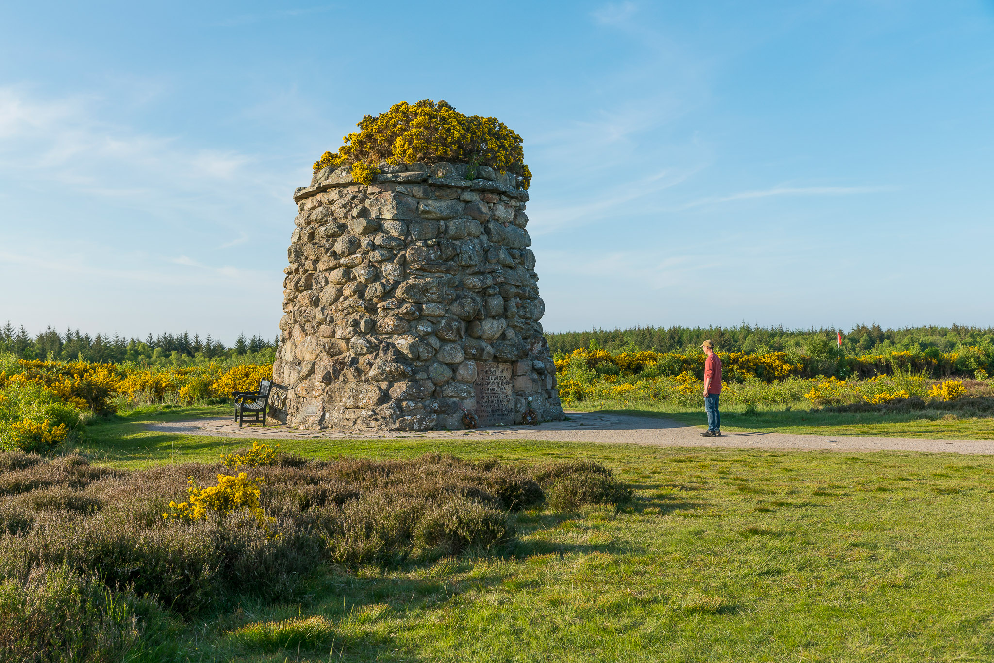 Anne Kneilands Cairn MemorialMemorial · 1300 yd
 Auchentibber War MemorialMemorial · 1475 yd
More waterfalls, wells and springs in South Lanarkshire · All of South Lanarkshire

What do you know about this place?Tap to add a comment or ask a question