What is recorded here
In pastureland on an E-W running esker ridge. A hachured area, named 'Caislean-na-Cirche' on the 1932 edition of the OS 6-inch map, proved on inspection in 1984 to be a quarried area at the E end of the esker.
Compiled by: Olive Alcock
Date of upload: 9 July 2014
The monument record does not grant public access. Check the route and ask the landowner before entering private land.
- What survives
- Recorded monument
Places near here
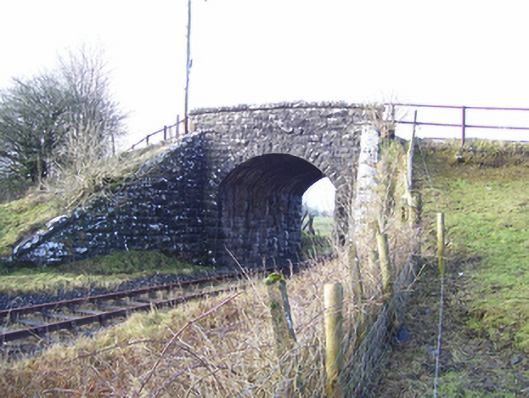 Varley's Bridgebridge · 831 yd
 European ashEuropean ash · 890 yd
 Cloigtheach (Round Tower)Round tower · 958 yd
 Church in ruinsChurch · 976 yd
 IndicatedEcclesiastical enclosure · 981 yd
 Mass RockNamed rock · 1.5 mi
 Fartamore Castle in ruinsCastle, tower house · 2.6 mi
 Fartamore Castle (ruins)Castle · 2.6 mi
 KnockmaaWood · 4.7 mi
 Kilcoona Round TowerHeritage attraction · 8.5 mi
 Ballinduff BayBay · 11 mi
 Walsh's IslandIslet · 12 mi