What is recorded here
On the summit of the NE edge of level upland ridge partly covered by peat. Group of at least thirteen clearance cairns (diam. 2-5m H 0.3-1m) occurring over an area c. 100m E-W by 100m N-S within a field system (WI042-049----) which is defined by low earthen banks covering the hill summit and NE slopes. There are two enclosures (WI042-029----, WI042-048----) to the NE and N respectively. The majority of the cairns occur within two parallel E-W field boundaries, some are located above these immediately S of the westernmost enclosure.
Compiled by: Jean Farrelly
Date of upload: 22 November 2012
A cairnfield of the late Neolithic or Bronze Age, consisting of multiple small clearance cairns. It reflects ancient land use and settlement patterns in the upland landscape.
The monument record does not grant public access. Check the route and ask the landowner before entering private land.
- What survives
- Recorded monument
Places near here
 Enclosure in Aghowle Lower (shillelagh By.)Enclosure · 99 yd
 Enclosure in Boley (shillelagh By.)Enclosure · 456 yd
 Aghowle Church (in Ruins)Church · 1055 yd
 European BeechEuropean Beech · 1.2 mi
 SycamoreSycamore · 1.2 mi
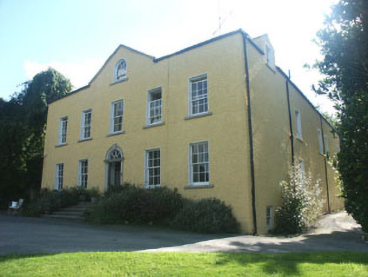 Money Housecountry house · 1.3 mi
 Ballynultagh HillMountain / peak · 3.0 mi
 Church (in ruins), GraveyardChurch · 3.5 mi
 CastleCastle, motte and bailey · 3.8 mi
 Clonogan Castle (site of)Castle, unclassified · 4.5 mi
 Altamont House and GardensHeritage attraction · 5.1 mi
 Altamont Gardens MapVisitor information · 5.2 mi