What is recorded here
Seven small circular cairns stand 3-10m apart on a level plateau above a small valley, giving their name to the mountain, Maladh na Seacht Leacht. Each is solidly built of loosely piled stone, tapering to a gently domed top, with basal diameters of 1.4-2m and heights of 0.55-1.1m. A low ring of dense moss and heather encircles each base. Oral history associates them with a funeral route travelling from the coastal lowlands near Gweedore northwards to Tullaghabegly church and graveyard at Ballintemple. Errigal Mountain and Lough Dunlewey appear on the horizon beyond the falling ground.
Located on a level plateau on a blanket bog-covered mountain top. Ground falls away c. 70m to E into a small valley through which a stream flows to S. On the E side of the valley ground rises to the bare stony peak of Carntreena/Carn Traonach, on which there is a burial cairn (DG033-006---). The iconic conical peak of Errigal Mountain dominates a range of mountain peaks on the horizon ENE−SSW. Lough Dunlewey (Dun Luice) is visible at the foot of the mountain range to S. Rising ground restricts views to N.
This cluster of seven small circular cairns gave their name to the mountain, Maladh na Seacht Leacht. The cairns, set 3-10m apart, are roughly circular in plan, tapering to a gently domed top, solidly built of loosely piled large and medium-sized stone blocks. The basal diameters ranges from 1.4-2m and the height from 0.55-1.1m. A low ring (Wth 0.6-1m) of dense moss and heather growth encircles the base of each cairn.
The exact date of the cairns is uncertain, but in oral history, they are associated with a funeral route that traversed the mountains, travelling from the coastal lowlands to south and west of Gweedore nothwards to Tullaghabegly church (DG025-042----) and graveyard (DG025-042001-) at Ballintemple, 1km SSE of Falcarragh (pers. comm. Michael Gibbons).
Notiified to NMS by Michael Gibbons.
Attached images:
DG033-007----_01.JPG Cairns viewed from N (this image is courtesy of Michael Gibbons)
DG033-007----_02.JPG viewed from NW, with Errigal Mountain and Dunlewy Lough in the background.
DG033-007----_03.JPG Ranging rods at largest cairn, viewed from W
Compiled by: Jane O'Shaughnessy
Date of upload: 28 February 2022
A wayside cairn, likely dating to the Bronze Age; its location suggests a possible funerary or ritual function within a landscape of upland monuments.
The monument record does not grant public access. Check the route and ask the landowner before entering private land.
- What survives
- Recorded monument
Places near here
 Cairn, CronalaghtPublicly named cairn; age not proved by this picture · 1164 yd
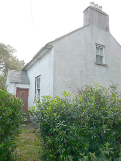 Heath Cottagehouse · 2.5 mi
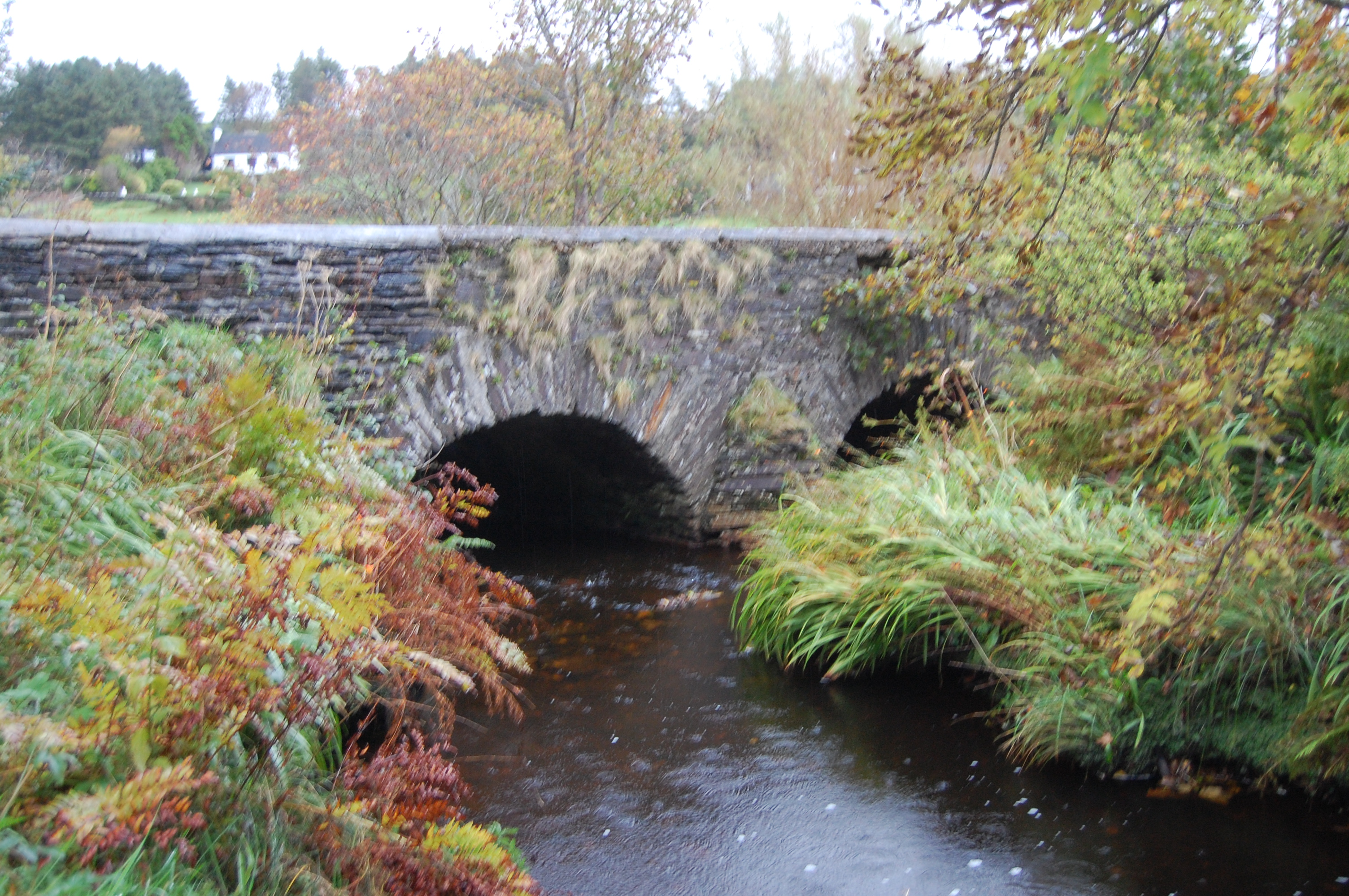 Fawnaboy Bridgebridge · 2.8 mi
 Hachured, DoonFairy fort / ringfort · 3.3 mi
 Dunlewey CentreHeritage attraction · 3.8 mi
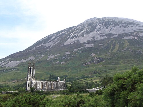 Errigal / An EaragailMountain / peak · 4.2 mi
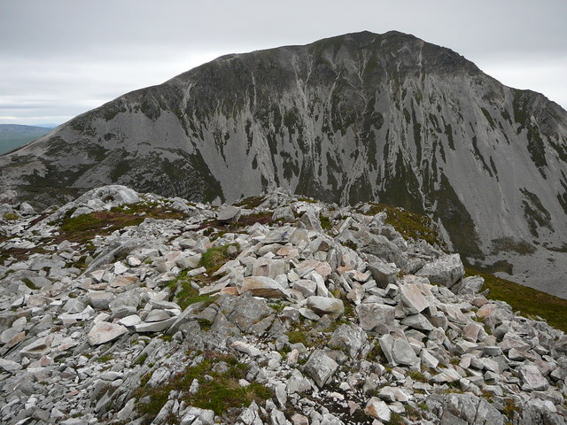 MackoghtMountain / peak · 4.6 mi
 Portarthur, DerrybegOfficial bathing water · 5.0 mi
 Trá Dún MórBeach / strand · 5.1 mi
 Castle Bawne (in Ruins)Bawn · 5.4 mi
 An tOileán CarrachIslet · 5.8 mi
 Crolly WaterfallWaterfall · 6.2 mi