What is recorded here
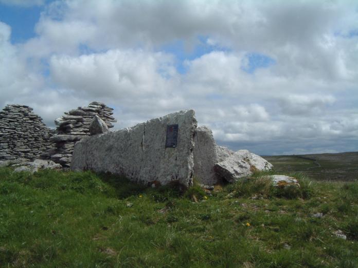
One of nine cairns lines Glasgeivnagh Hill in County Clare, sitting above a steep eastern cliff and embedded in an old field system. Its round mound holds upright stones at the centre, yet those stones do not form a visible cist or kerb. The cairn is not a complete chamber, but a marked presence on a busy hilltop where several stones were set among others.
On a slight rise near the summit of the semi-karst Glasgeivnagh Hill commanding wide views, with land falling steeply to a cliff c. 115m to the E. In rough pasture within a large multiperiod field system (CL010-064001-). This is one of a cluster of 9 cairns along this hilltop (see also CL010-064027-, CL010-064-028-, CL010-064029-, CL010-064030-, CL010-064031-, CL010-064032-, CL010-064033-, and CL010-064065-). This subcircular cairn (11m E-W; 10.3m N-S; H 0.5-0.8m) incorporates several upright stones at the centre but they do not appear to form a cist or kerb. Mound walls extend SW from the W edge of the cairn, and NE from the NNW edge.
Compiled by: Mary Tunney and Conn Herriott
Date of upload: 18 April 2023
The monument record does not grant public access. Check the route and ask the landowner before entering private land.
- What survives
- Recorded monument
Places near here
 LissaunFairy fort / stone ringfort · 518 yd
 Enclosure in SlievenaglashaEnclosure · 615 yd
 Father Ted's HouseHeritage attraction · 1026 yd
 Glenquin Housefarm house · 1034 yd
 Correen R.C. Chapel (in ruins)Church · 1052 yd
 Castle (in ruins)Castle, unclassified · 1267 yd
 Burren National ParkVisitor information · 1.2 mi
 Castle in ruinsCastle, tower house · 1.5 mi
 Mullagh MoreMountain / peak · 1.8 mi
 Farbrega RockNamed rock · 2.8 mi
 Fergus River CaveCave · 3.9 mi
 PoulnabroneMemorial · 4.2 mi