What is recorded here
Achill Island is a long thin ribbon of rock pulled west into the Atlantic, and the cairn sits on its lower slope like a forgotten sentence. The stones are not large enough to admire from a distance, but they are large enough to handle, to move, to remember. A person may have stacked them after storms, marked a boundary, buried a name or simply answered the shape of the land. The heather has since taken back the edges, leaving only the central hollow visible, as if the mountain were keeping the larger part of the story to itself.
In rough, heather-covered upland bog, located on the lower SW-facing slope of a high ridge in NW of Achill Island. There is an area of worked bog c. 60m to S.
This consists of a loose, oval heap of medium and large-sized stones (3m N−S; 2m E−W; H c. 0.5m), with a shallow central depression. The perimeter is submerged in heather, and the central hollow is grass-grown. There a possible enclosure (MA042-049002-) 1.8m to N.
Image:
MA042-049001_01.jpg: Cairn viewed from S.
Compiled by: Jane O'Shaughnessy
Date of upload: 24 July 2017
The monument record does not grant public access. Check the route and ask the landowner before entering private land.
- What survives
- Recorded monument
Places near here
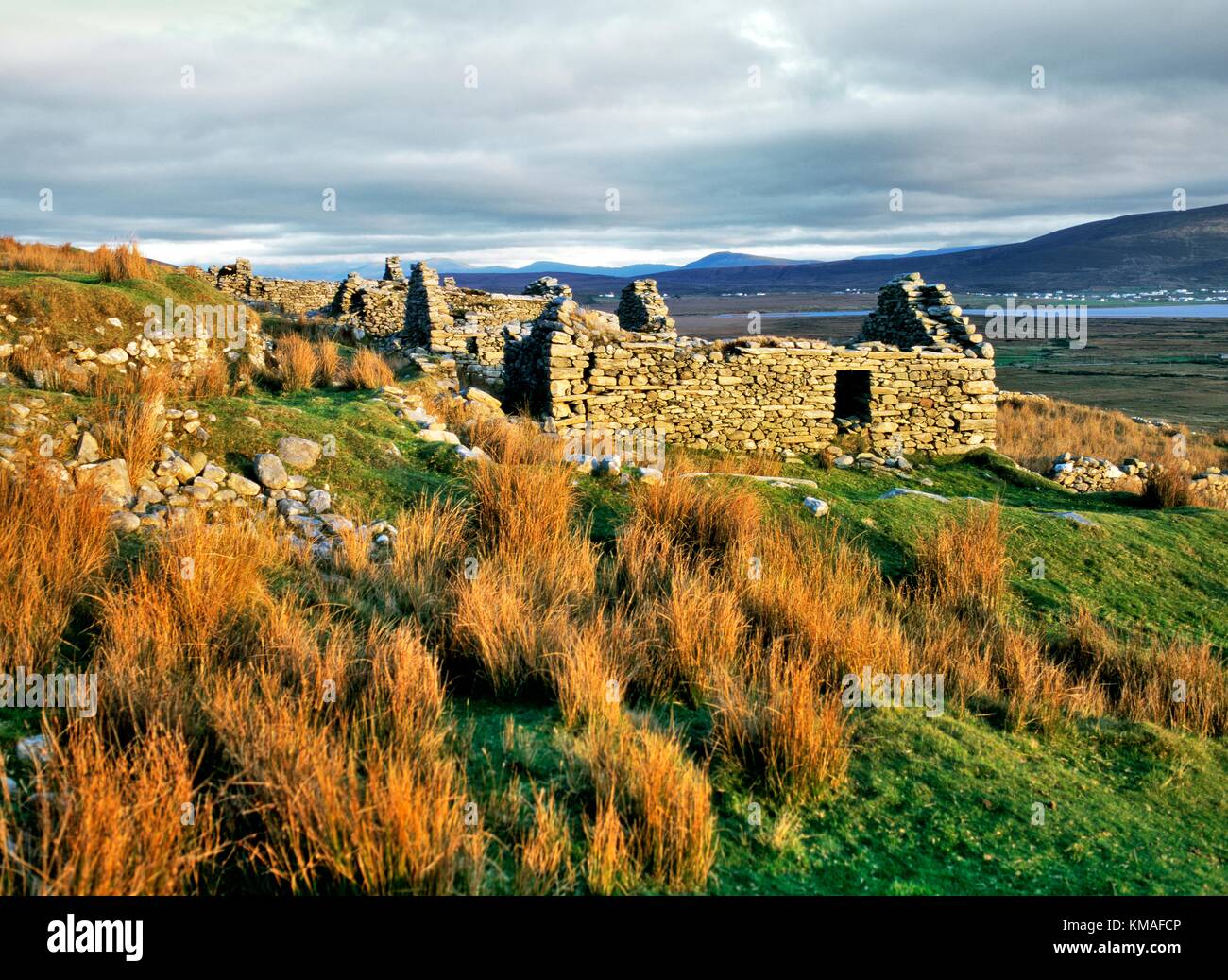 Enclosure in SlievemoreEnclosure · 7 yd
 Annagh StrandBeach / strand · 1412 yd
 Achill Folklife CentreMuseum · 1610 yd
 Don AllumMonument · 1613 yd
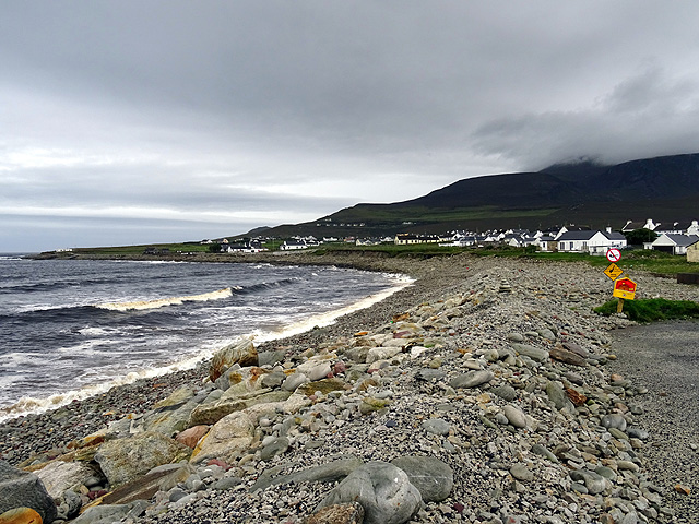 Dooagh StrandBeach / strand · 1.0 mi
 Saddle Hill Signal Towersignal tower · 1.1 mi
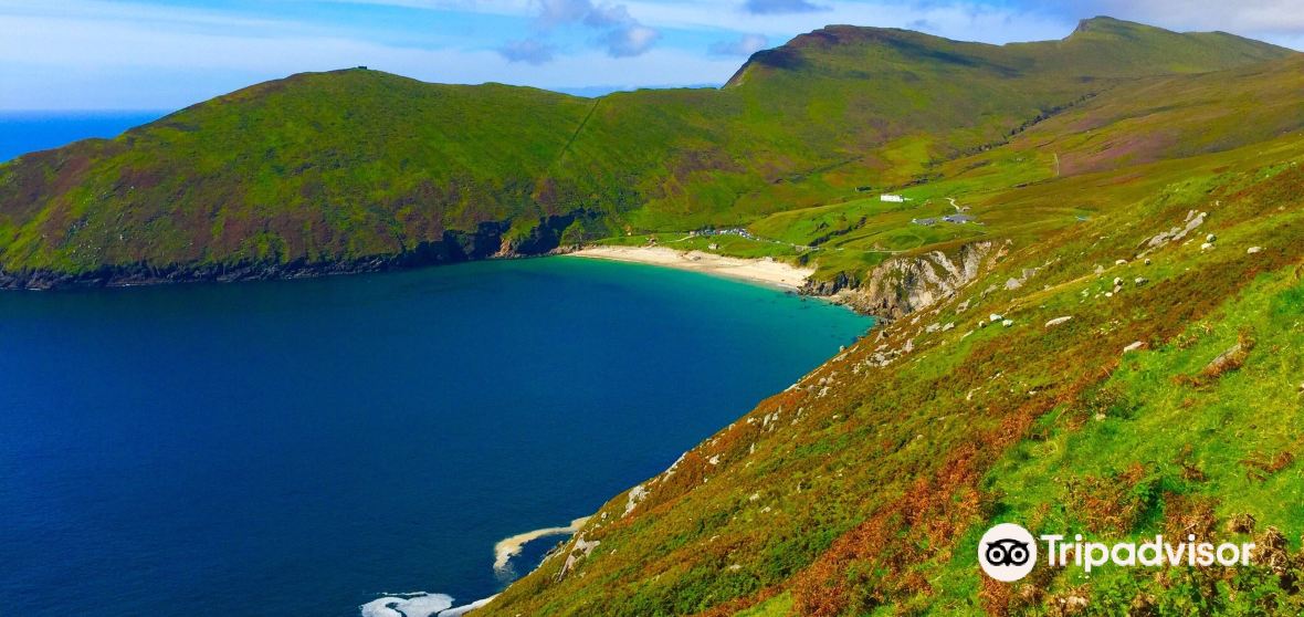 Gubnahinneora PointHeadland · 1.5 mi
 Convent of the Sacred Heartconvent/nunnery · 1.7 mi
 Ronan Halpin GalleryGallery · 1.7 mi
 GubnahooeycamHeadland · 2.1 mi
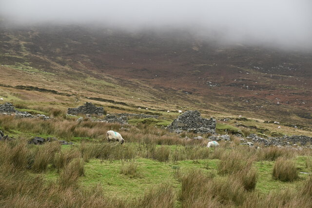 The Deserted Village at SlievemoreVisitor information · 2.3 mi
 InishgalloonIslet · 2.4 mi