What is recorded here
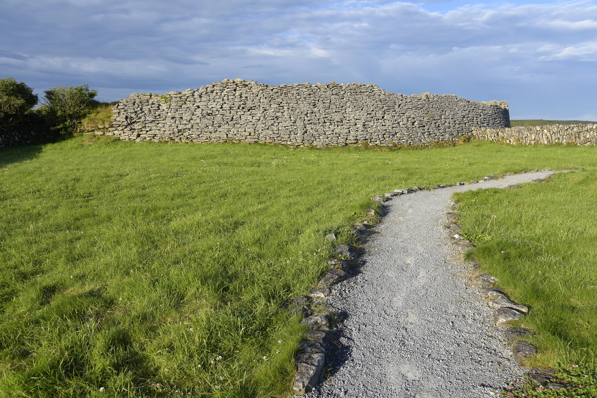
Cairn stands in rough Clare pasture, a grass-covered ring of stone beside Poulawack cairn. Someone dug a shallow crater at its centre and spread the spoil across the top, flattening what may have risen higher. The level surface still holds the shape of that forgotten handling.
In rough pasture near the summit of a broad hill with wide views, and within a multiperiod field system (CL009-032001-). This is a partly damaged grass-covered subcircular cairn (diams. 12.1m N–S; 11.7m E–W; H 0.8–1.1m). The upper surface (diams. 5.6m E–W; 4.7m N–S) is quite level possibly due to spoil dug from a central crater (2.5m N–S; 2.4m E–W; D 0.4m) having been spread around and this disturbance had been noted previously (Coffey 1996, 58). A kerbstone (L 1m; Wth 0.2m; H 0.2m) is visible at E edge of the cairn. Stones lying flat on the cairn may be from field clearance. Poulawack cairn (CL009-032002-) lies c. 50m to the SW.
Compiled by: Gearóid Conroy and Conn Herriott
Date of upload: 30-9-2025
A Bronze Age cairn; its location within a multiperiod landscape suggests continuity of settlement or ritual activity in the area.
The monument record does not grant public access. Check the route and ask the landowner before entering private land.
- What survives
- Recorded monument
Places near here
 Poulawack CairnArchaeological place · 72 yd
 IndicatedEnclosure · 274 yd
 Caherconnell Stone FortRuins · 1066 yd
 CaherconnellHeritage attraction · 1099 yd
 Cave of the Wild HorsesCave · 1345 yd
 Carran Church (in ruins)Church · 1508 yd
 Poulnabrone - Burren GeositeVisitor information · 1.0 mi
 The Portal TombVisitor information · 1.1 mi
 Poulnabrone DolmenHeritage attraction · 1.1 mi
 Gleansleade Castle (in ruins)Castle, tower house · 1.5 mi
 PoulnabroneMemorial · 1.7 mi
 Farbrega RockNamed rock · 1.8 mi