What is recorded here
Cairn sits on a Cork hill summit, half-swallowed by gorse and heather, its small circular stones including bright quartz that catches light the grass cannot hide. A cup-marked stone waits a hundred metres to the southwest, suggesting the summit was once a place of notice rather than forgotten field debris. People may have climbed there to mark season, loss or promise, then left the stones for rain and root work. The gorse still guards what human hands began.
On the summit of a hill, in rough gorse and heather-covered hill pasture. A circular cairn (diam. 2m; H 0.6m) comprising a variety of stone including some quartz. The perimeter is obscured by gorse and grass and the stones at the centre appear to have been repositioned in recent times. A cup-marked stone (CO150-074001-) is c. 100m to the SW.
The above description is derived from 'The Archaeological Inventory of County Cork. Volume 5' (Dublin: Stationery Office, 2009).
Date of upload: 22 December 2009
A Neolithic cairn; its significance lies in its potential as a burial or ritual monument, typical of early farming communities in Ireland.
The monument record does not grant public access. Check the route and ask the landowner before entering private land.
- What survives
- Recorded monument
Places near here
 Church in Kedge IslandChurch · 348 yd
 Walk 5 - Lough Hyne (7km)Walking route · 434 yd
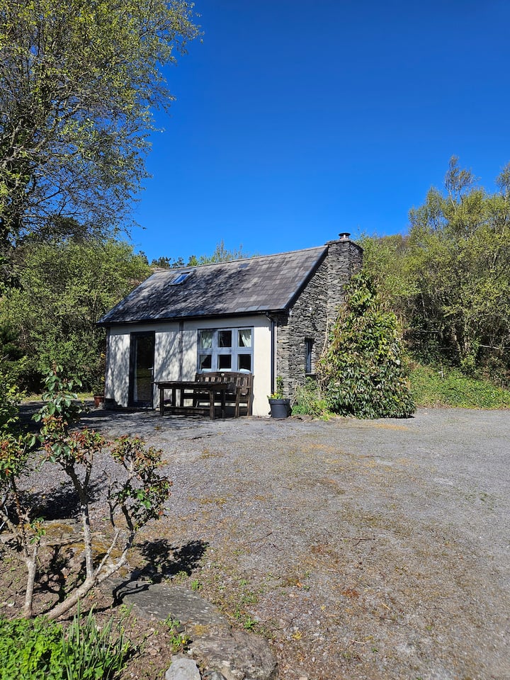 Hut site in GlannafeenHut site · 785 yd
 Templebreedy (in Ruins)Church · 1064 yd
 ClochánCastle · 1230 yd
 Bullock IslandIslet · 1452 yd
 Castle (in Ruins)Castle, unclassified · 1473 yd
 Wild Atlantic Way:Lough HyneVisitor information · 1482 yd
 Kill Burial Gd (Childrens)Burial ground · 1609 yd
 KnockomaghMountain / peak · 1752 yd
 Trá na BóBeach / strand · 1.1 mi
 TralispeanBeach / strand · 1.4 mi