What is recorded here
Cairn is a cairn, unclassified in Inishmurray, County Sligo, Ireland. In a flat arable field by the north-east shore, a long, low mound of grassy rubble measures 8 m long, 4 m wide and 1 m high. Two small hollows mark its upper surface, and meadow grasses and weeds cover the rubble. The shape suggests a kiln or, more likely, a large field clearance mound.
In a flat arable field by the north-east shore of Inishmurray. On level ground within a field by the northern shore, a long, low mound of grassy rubble measures 8 m long (east/west) by 4 m wide and is 1 m high. There are two small hollows in its upper surface. This could possibly be a kiln or, more likely, simply a large field clearance mound. It is strongly colonised by meadow grasses and associated weeds.
The above description is derived from the survey of the archaeological remains undertaken in 1997-99 and published in:
J. O’Sullivan and T. Ó Carragáin 2008 Inishmurrary. Monks and pilgrims in an Atlantic landscape. Volume 1: Archaeological Survey and Excavations 1997-2000. Cork. The Collins Press.
The monument record does not grant public access. Check the route and ask the landowner before entering private land.
- What survives
- Recorded monument
Places near here
 Altar (Site of)Leacht · 326 yd
 TobernasoolHoly well · 432 yd
 Teampull Mhuire or Teampull-na-mbanChurch · 619 yd
 Teampull Molaise, TeampullnabarChurch · 629 yd
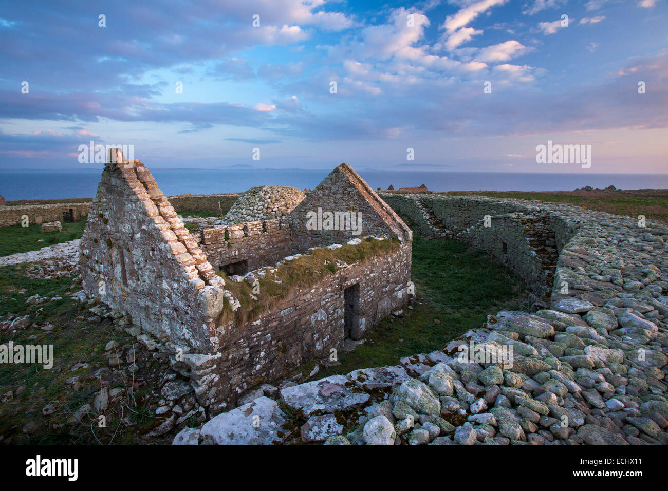 Inishmurray Island Monastic SiteHeritage attraction · 667 yd
 InishmurrayIsland · 693 yd
 Streedagh BeachVisitor information · 4.2 mi
 de Cuellar Armada MonumentMemorial · 4.3 mi
 Connors IslandIsland · 5.2 mi
 Bawn in DoonforeBawn · 5.8 mi
 Knocklane CastleRuins · 6.0 mi
 Upperglen WoodForest · 6.1 mi