What is recorded here
Lackan Bay watches a grassy D-shaped mound where ancient hands sorted stone before human memory faded. The earth has swallowed its purpose, yet the shape remains sharp enough to suggest intention rather than accident. A fence cuts across one edge, reducing the sacred to a boundary line for grazing stock. What was buried beneath the mound may still wait under the grass, patient as the tide that laps the coast below.
Located on a slight elevation in coastal pasture, overlooking Lackan Bay.
This cairn is not indicated on the 1838 and 1922 OS 6-inch maps. It consists of a grass-grown, roughly D-shaped mound (11.5m N-S; 5.7m E-W; H 0.9m), bordered on the straight side at E by a N−S field fence. Disturbance of the mound, particularly along its NW−N edge, reveals that it is composed of a concentration of small to medium-sized stones. Two hollows suggest areas of infilled subsidence. Two irregular-shaped heaps of earth and stone on the SW edge of the mound appeared to have been dumped there relatively recently. The cairn is sited on top of a low rise (c. 13m E-W; c. 24m N-S). According to local information, the cairn overlies a Man-made underground passage (MA015-068002-). There is a rath (MA015-003001-) 140m to E.
Compiled by: Jane O’Shaughnessy
Date of upload: 13 November 2018
The monument record does not grant public access. Check the route and ask the landowner before entering private land.
- What survives
- Recorded monument
Places near here
 TobernacreevaHoly well · 207 yd
 Enclosure in CarrowtrasnaEnclosure · 469 yd
 CastleCastle, unclassified · 1751 yd
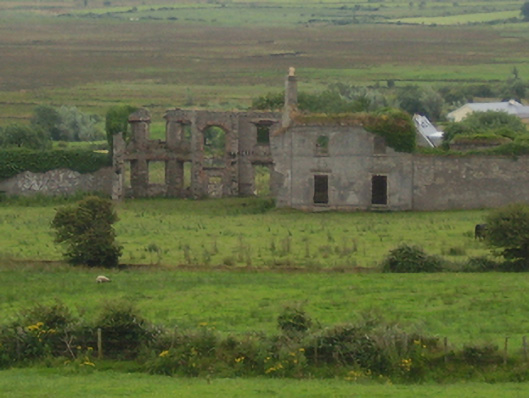 Castlelackancountry house · 1.0 mi
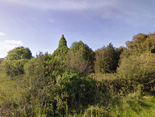 Lackan Church (Lackan)church/chapel · 1.1 mi
 TrabaunBeach / strand · 1.2 mi
 CastlenageehaCastle, unclassified · 1.4 mi
 French Landing 1798Memorial · 1.4 mi
 Rinnaun PointHeadland · 3.3 mi
 Green IslandIslet · 3.7 mi
 Battle of Killalabattle · 3.9 mi
 Lisheen Grave YardArchaeological place · 4.3 mi