What is recorded here
Cairn stands just off the summit of a high ridge in the Moat Field, County Louth, marking a forgotten boundary or burial with rough circular stones. A single upright slab leans in the western quadrant, uncertain in purpose but deliberate in placement. The field name hints at water or defense, yet the stones remain stubbornly silent, waiting for someone to remember why they were stacked.
The following description is derived from both the published 'Archaeological Inventory of County Louth' (Dublin: Stationery Office, 1986) and the 'Archaeological Survey of County Louth' (Dublin: Stationery Office, 1991). In certain instances the entries have been revised and updated in the light of recent research.
Date of upload/revision: 17 July 2007
Situated just off the summit of high E-W ridge, in field known as the 'Moat Field'. Roughly circular cairn of stones (16m E-W, 14m N-S; H 0.8m). In W quadrant of site is an upright slab (H 0.7m, Wth 0.4m, T 0.1m) of uncertain significance.
The monument record does not grant public access. Check the route and ask the landowner before entering private land.
- What survives
- Recorded monument
Places near here
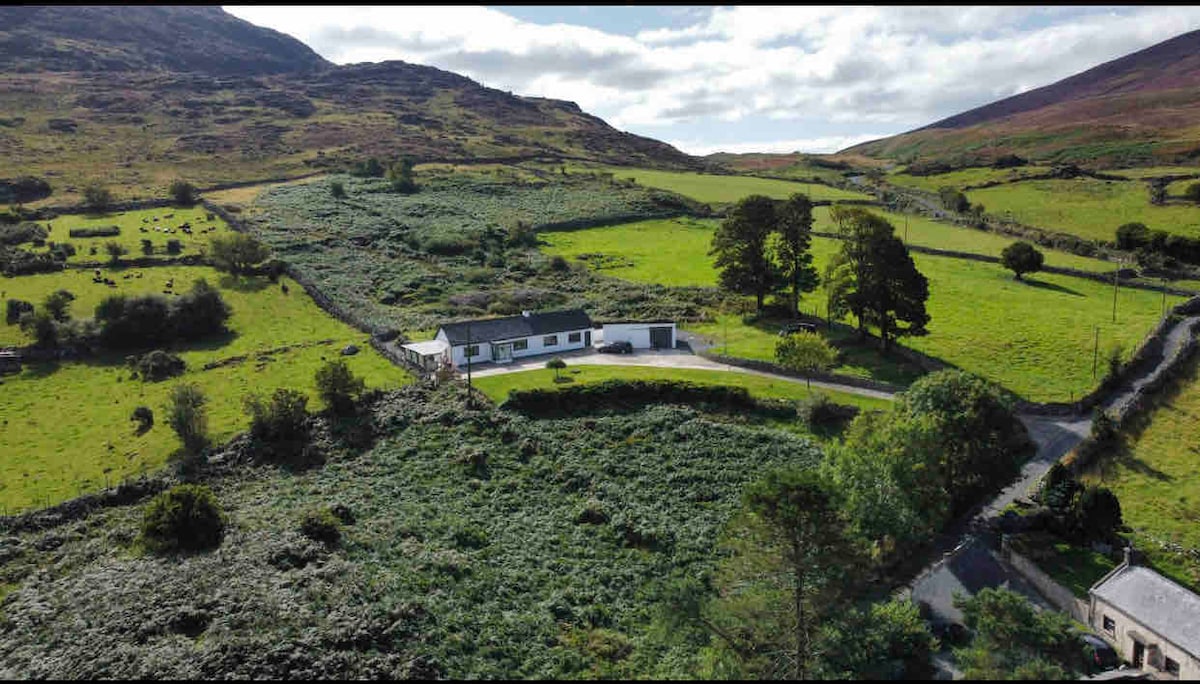 Man-made underground passage in BrownstownMan-made underground passage · 658 yd
 Church (in Ruins)Church · 1255 yd
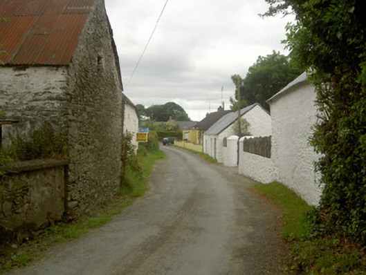 outbuildingoutbuilding · 1.0 mi
 Man-made underground passage in BawntaaffeMan-made underground passage · 1.1 mi
 CastleCastle, motte · 1.3 mi
 MonasterboiceEarly monastic site · 1.7 mi
 Muiredach's High CrossHeritage attraction · 1.8 mi
 BarabonaMountain / peak · 2.6 mi
 Drummond TowerCastle · 2.8 mi
 Grove IslandIslet · 3.6 mi
 Yellow IslandIslet · 3.6 mi
 Battle of the Boyne Visitor CentreMuseum · 3.7 mi