What is recorded here
Cairn, Ballinascorney Upper, Co. Dublin: a stone-and-earth mound, roughly 18m across and 3m high, set where three townland boundaries still meet on Tallaght Hill. It has lost upper stones, kerbs and part of its body to walls, drainage, forestry and a forest road, yet it remains a live boundary marker: come from the northeast, read the slope, and remember that people have kept this point visible for centuries.
Clarke mentions the previous existence of a cairn known as Carn Uí Dúnchada, possibly erected by Uí Dúnchada in response to Viking pressure in the 9th-10th century (2002, 12). This was used as a municipal boundary marker. Not precisely located.
Cairn, possibly medieval in origin (9th–10th century), associated with the Uí Dúnchada lineage. It served both as a funerary or commemorative monument and as a municipal boundary marker, reflecting early medieval land organization and responses to Viking pressures in the Dublin region.
The monument record does not grant public access. Check the route and ask the landowner before entering private land.
- What survives
- Recorded monument
Places near here
 CastleCastle, unclassified · 1 yd
 Rutland Fountain National Museum of Ireland Collins Barracksfountain · 23 yd
 Royal BarracksBarracks · 38 yd
 AsgardMuseum · 56 yd
 National Museum of Ireland, Collins BarracksMuseum · 75 yd
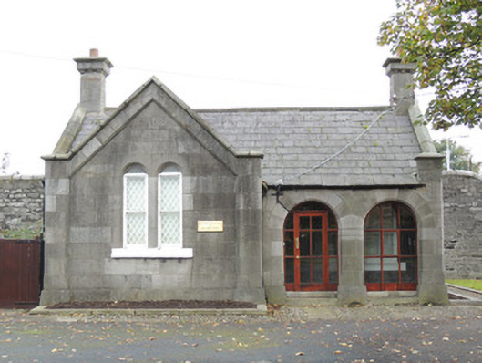 Military Heritage of Ireland Trustsexton's house · 136 yd
 Croppies Acre MemorialMemorial · 169 yd
 Burial ground in Unknown TownlandBurial ground · 182 yd
 1916 Easter RisingMemorial · 268 yd
 European PearEuropean Pear · 632 yd
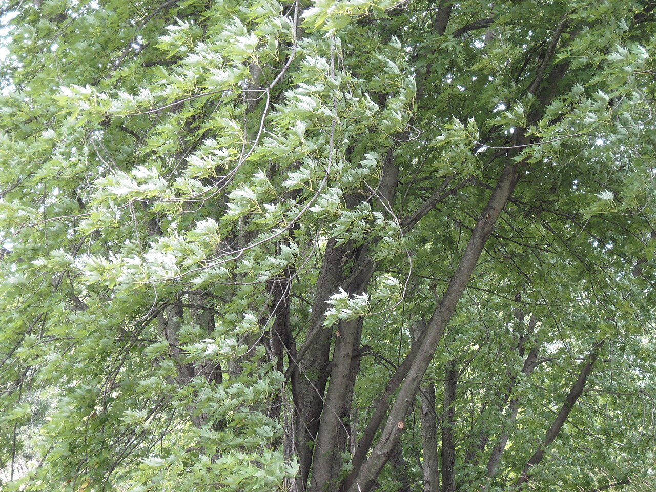 Silver mapleSilver maple · 1040 yd
 Gairdín Foirmiúil Ospidéal Ríoga Chill MhaighneannVisitor information · 1143 yd