What is recorded here
According to Power (1952, 350) a 'Leacht' in Drumcannon was the path leading to Drumcannon graveyard (WA026-017002-) from the old Tramore - Waterford road. He may have intended the stone known as Conan's Stone (WA017-059----).
Power, Rev. P. (1952) The placenames of the Decies. (second ed.) Cork University Press.
Compiled by: Michael Moore
Date of upload/revision: 27 May 2011
The monument record does not grant public access. Check the route and ask the landowner before entering private land.
- What survives
- Recorded monument
Places near here
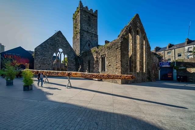 Drumcannon Church (in ruins)Church · 506 yd
 Grave YardGraveyard · 522 yd
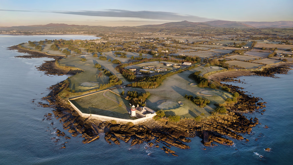 Embanked enclosureFairy fort / ringfort · 1186 yd
 Perry's BridgeOfficially recorded historic building · 1315 yd
 Tramore Dunes WalkWalking route · 1.6 mi
 Tramore Tourist OfficeVisitor information · 1.8 mi
 Tourist InformationVisitor information · 1.8 mi
 Tramore StrandBeach / strand · 2.1 mi
 Cannon GunBattlefield · 2.2 mi
 Cullen Castle (in ruins)Castle, tower house · 2.2 mi
 Doneraile WalkWalking route · 2.3 mi