What is recorded here
Located on the highest point of the Killadore/Devlin Hills, with panoramic views, particularly along the coastline. This stone cairn (diam. 6m; max H 0.60m) is low, broadly slumped and partly sod-covered. On the S edge there is a possible kerb stone (L 1.1m; T 0.1cm; H 0.30cm), but no evidence of a kerb is visible elsewhere around the circuit. The cairn is topped with a smaller, recent stone pile (diam. 2m; H 1m) which serves as an OS trigonometrical point.
Compiled by: Jane O’ Shaughnessy
Date of upload: 24 October 2017
A Neolithic stone cairn, likely dating to the early to middle Neolithic period (c. 4000–3000 BCE). Its location on a prominent hill suggests it may have had ritual or funerary significance, common for such monuments in the Irish landscape.
The monument record does not grant public access. Check the route and ask the landowner before entering private land.
- What survives
- Recorded monument
Places near here
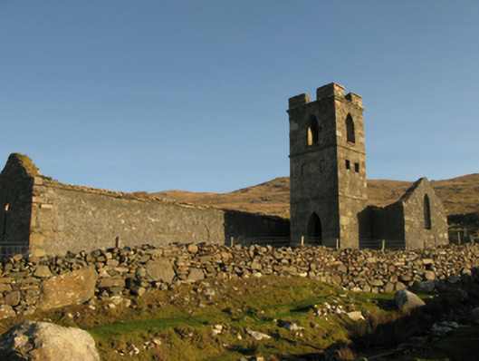 Gowlaun Catholic Chapelchurch/chapel · 912 yd
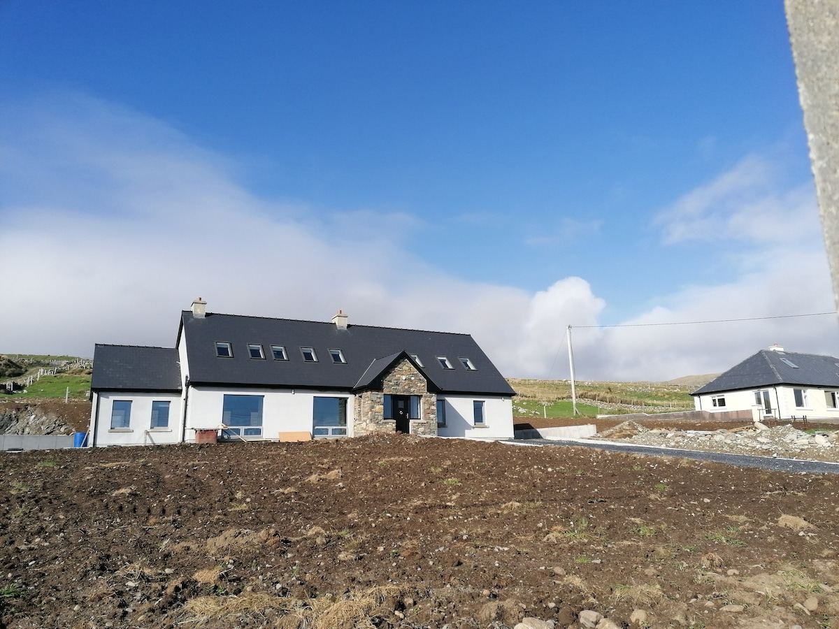 Enclosure in KinnadoohyEnclosure · 1189 yd
 Enclosure in KilladoonEnclosure · 1590 yd
 Bunlough StrandBeach / strand · 1.2 mi
 Brnabaun BeachBeach / strand · 1.3 mi
 foot bridgefoot bridge · 1.6 mi
 Silver StrandBeach / strand · 3.3 mi
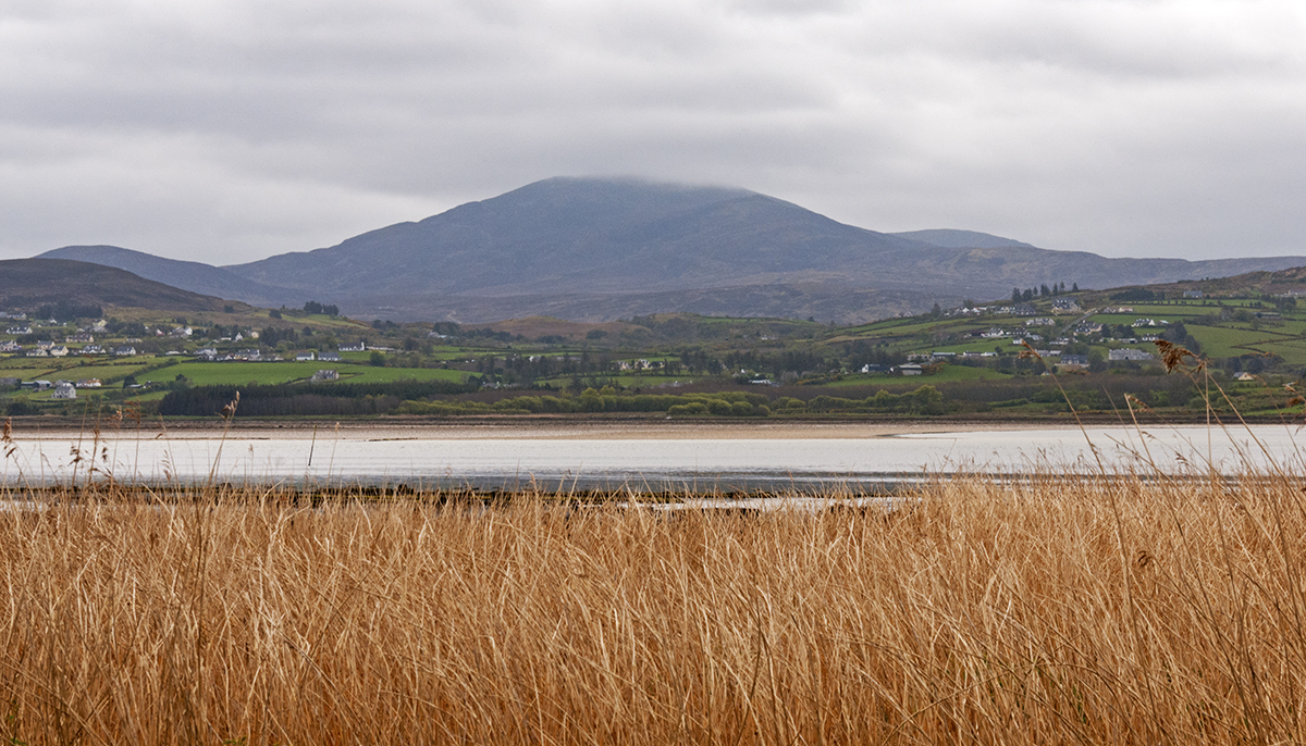 Inishdegil BegIslet · 3.7 mi
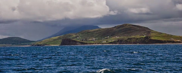 Carricknaglamph IslandIslet · 3.8 mi
 Ben BuryMountain / peak · 4.3 mi
 GubanillaunHeadland · 4.5 mi
 MweelreaMountain / peak · 4.6 mi