What is recorded here
Cairn is an unclassified stone heap on a steep Mayo ridge, likely a recent field clearance rather than an ancient monument. It sits beside two bowl barrows, suggesting people have long shaped this edge for living or remembering. The flat, mossy top follows the natural slope, blending human effort into the land itself.
In pasture, located on a steep NNE-facing ridge slope.
This cairn is not shown on the 1837 and 1919 OS 6-inch maps. It was listed in the SMR (1991) and the RMP (1997) on the basis of aerial photograph (OS 2 8791 -2; Roll 216, pr. 10; SMR file).
It consists of a roughly square heap (7.5m N−S; 8m E−S) of small and medium-sized stones, highest at the upslope S end (H 1m) and sloping down from there to N; the slope reflects the natural fall of the ridge slope. The sloping top of the cairn is flat rather than domed in profile. It is partly moss-covered. This has the appearance of a relatively recent field clearance cairn.
Two bowl barrows (MA062-093001-; MA062-093002-) are located c. 150m to SW on the summit of the ridge.
Compiled by: Jane O’Shaughnessy
Date of upload: 9 December 2020
The monument record does not grant public access. Check the route and ask the landowner before entering private land.
- What survives
- Recorded monument
Places near here
 IndicatedFairy fort / earthen ringfort · 825 yd
 ToberbrideHoly well · 1.1 mi
 Penitential station in DerryronanPenitential station · 1.1 mi
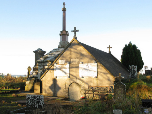 mausoleummausoleum · 1.1 mi
 Brabazon WoodsForest · 1.2 mi
 Procession Of The SoulsMemorial · 1.3 mi
 Youth Memorial GardenMemorial · 1.6 mi
 HawthornHawthorn · 3.4 mi
 Castle (in Ruins)Castle, unclassified · 3.7 mi
 Hennigan's Heritage CentreHeritage attraction · 3.8 mi
 Thorn CaveCave · 3.8 mi
 Kiltimagh MuseumMuseum · 7.0 mi