What is recorded here
Clear water, three feet deep, touches the land at Clifden. The lake is shallow enough to wade across in places, yet deep enough to drown a careless child. People may have drunk from it, washed clothes in it or simply watched rain move across its surface. The water still belongs to everyone and nobody.
In a rath (MA039-074001-). This record is based on sketchy notes made in 1953 by R. B. Aldridge following a visit to the rath (unpublished NMI Topographical Files/SMR file). He recorded ‘signs of stone work in the centre of the rath –cairn? or building’. Slightly S of centre in the rath interior, there is a low, roughly circular concentration (diam. c. 3m) of stones around the base of two hazel trees. It does not appear to have any clear structure, and its significance is uncertain. It may correspond to the feature noted by Aldridge.
Compiled by: Jane O’Shaughnessy
Date of upload: 1 April 2020
The monument record does not grant public access. Check the route and ask the landowner before entering private land.
- What survives
- Recorded monument
Places near here
 Enclosure in CorroyEnclosure · 350 yd
 IndicatedFairy fort / earthen ringfort · 855 yd
 Gull IslandIslet · 940 yd
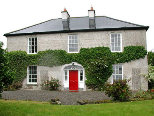 Barnfield Housefarm house · 1005 yd
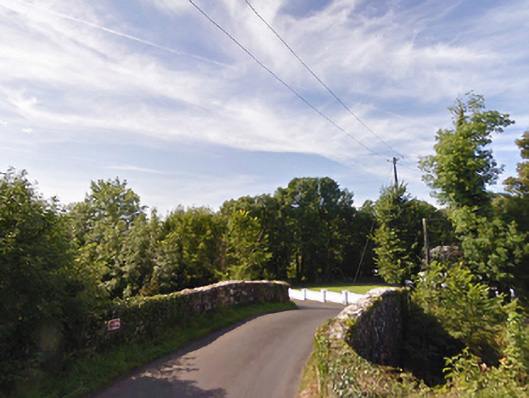 bridgebridge · 1086 yd
 Castle (in ruins)Castle, unclassified · 1.2 mi
 Cloghans CastleCastle, tower house · 1.5 mi
 Battle of Ballinabattle · 3.9 miHumbert MonumentMemorial · 4.0 mi
 Roe IslandIslet · 4.3 mi
 Drummin ForestForest · 5.0 mi
 Titanic Memorial ParkMemorial · 6.2 mi