What is recorded here
Cairn is a quadrant-shaped stone heap in County Kerry, bounded by straight field walls on its SW and SE sides, the latter now ruined. It measures 11m NW-SE x c. 14m NE-SW and rises to .98m high. A 2.5m line of horizontally-laid stones extends NW from the NE end of the ruined wall, possibly debris from its removal rather than a separate feature. The shape suggests human making, but the purpose remains unclassified.
A quadrant-shaped cairn of stones bounded by straight field walls on its SW and SE sides, the latter wall now ruined. It measures 11m NW-SE x c. 14m NE-SW and is up to .98m high. A 2.5m long line of horizontally-laid stones extends NW along the edge of the cairn from the NE end of the ruined wall. It is possible that the cairn simply contains the debris from the removal of the latter.
The above description is derived from J. Cuppage, ‘Corca Dhuibhne. Dingle Peninsula archaeological survey. Ballyferriter. Oidhreacht Chorca Dhuibhne’ (1986), no. 227. In certain instances the entries have been revised and updated in the light of recent research.
Date of upload: 4 August 2013
Quadrant-shaped cairn, likely dating to the Neolithic or early Bronze Age. Its partial alignment with field boundaries suggests a possible ritual or territorial significance in a prehistoric landscape.
The monument record does not grant public access. Check the route and ask the landowner before entering private land.
- What survives
- Recorded monument
Places near here
 Fulacht fia in Coill Bhaile Uí FhlaithimhFulacht fia · 262 yd
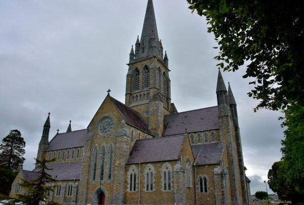 Church in Coill Bhaile Uí FhlaithimhChurch · 543 yd
 Church in Arraglen (corkaguiny By., Castlegregory Ed),killiney,tullig (corkaguiny By., Castlegregory Ed)Church · 891 yd
 Hut site in Duagh (corkaguiny By.)Hut site · 1085 yd
 CarrigadavMountain / peak · 1.2 mi
 CummeenMountain / peak · 1.4 mi
 Glanteenassig Forest ParkForest · 2.7 mi
 Site of CastleCastle, unclassified · 2.8 mi
 Graveyard in Baile An Chnocáin (tc An Cnoc Glas)Graveyard · 2.9 mi
 IndicatedCastle, tower house · 3.0 mi
 Faisr's GraveArchaeological place · 3.4 mi
 Sandy Bay BeachBeach / strand · 4.4 mi