What is recorded here
Cairn is a low, irregular heap of stones in Mayo pasture, possibly the remains of a burial place. It sits on a slight rise beside the Deel River, with Nephin Mountain visible to the south-west and other ringbarrows scattered within a few hundred metres. A farm track may have cut through its northern edge, and the ground below holds a natural water-filled hollow. The stones are small and worn, but they still mark a place where people once lived, loved and died beneath the same sky.
In pasture, located on a slight rise, in an area of rolling limestone grassland bordered 200m to NW by the Deel River. The ground falls away to S into a natural water-filled hollow. Nephin Mountain is prominently visible to SSW and the Nephin Beg Range extends along the skyline to W.
This cairn is not indicated on the 1838 and 1922 OS 6-inch maps. It is evident as a low, irregular-shaped concentration (max. diam. c. 6m; H 0.35m) of stones. The perimeter at S–SW is defied by a low, curving stony scarp (H 0.35m). A farm track, immediately to N, may have truncated the original N extent of the cairn. The remains are poorly preserved and difficult to interpret; it may be the remnants of a burial cairn or barrow. There is ringbarrow (MA038-053001-) c. 60 to N, and another ringbarrow (MA038-053002-) c. 50m to E. A cluster of other ringbarrows and possible barrows (MA038-050----; MA038-051----; MA038-052----; MA038-146----) are located in adjacent fields within a range of c. 100-300m to W, NW and NE. There is a possible ringcairn (MA038-054----) c. 250m to SSW.
Compiled by: Jane O'Shaughnessy
Date of upload: 29 July 2019
The monument record does not grant public access. Check the route and ask the landowner before entering private land.
- What survives
- Recorded monument
Places near here
 IndicatedEnclosure · 567 yd
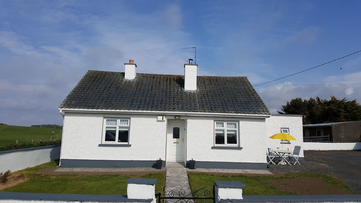 Enclosure in BengeeryEnclosure · 667 yd
 Church in ruinsChurch · 1411 yd
 Catholic Church of Our Ladychurch/chapel · 1432 yd
 Grave of the KingsArchaeological place · 1593 yd
 RathmoreCastle, motte · 1.3 mi
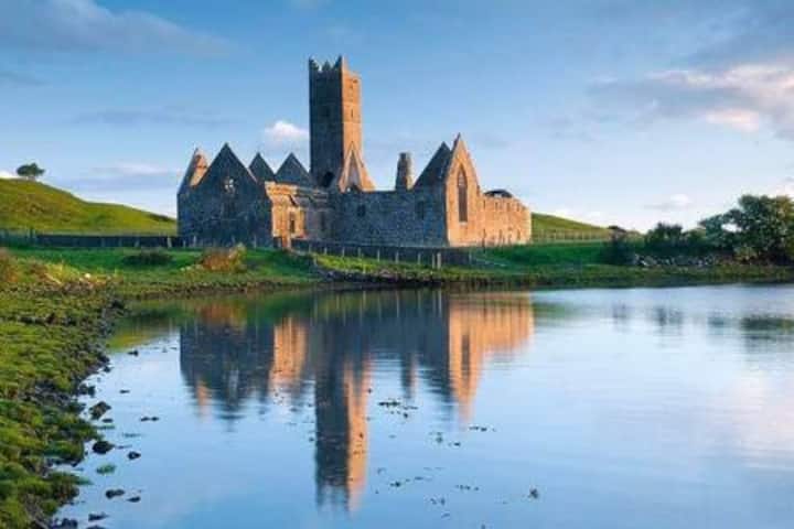 Castle in RuinsCastle, tower house · 1.6 mi
 Castle IslandIslet · 2.2 mi
 Roe IslandIslet · 2.6 mi
 Titanic Memorial ParkMemorial · 3.6 mi
 NephinMountain / peak · 4.9 mi
 KnockaffertaghMountain / peak · 8.1 mi