What is recorded here
Cairn is a 228-acre townland in County Cavan where prehistoric stones still mark the soil beneath minor roads and rural lanes. The McKiernan Clan held this land for centuries, splitting it into units like Ballencharne, until King James VI and I confiscated it during the Plantation of Ulster. That sudden loss stripped local families of their ancestral home, forcing them to watch strangers build mills and walled houses on ground they had tended since time immemorial.
Marked 'Carn' on the OS 1836 ed. Not marked on OS 1876 ed. Situated on the summit of a steep limestone hill with much rock outcrop protruding. Not visible at ground level.
The above description is derived from the published 'Archaeological Inventory of County Cavan' (Dublin: Stationery Office, 1995). In certain instances the entries have been revised and updated in the light of recent research.
Date of upload/revision: 22 December 2008
The monument record does not grant public access. Check the route and ask the landowner before entering private land.
- What survives
- Recorded monument
Places near here
 Cromwell's CampArchaeological place · 1211 yd
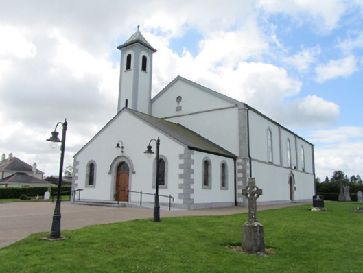 St Matthew's Roman Catholic Churchchurch/chapel · 1310 yd
 CarrickatoberMountain / peak · 1397 yd
 St. Patricks WellHoly well · 1511 yd
 AghadreenaghMountain / peak · 1.1 mi
 Raven's RockNamed rock · 1.2 mi
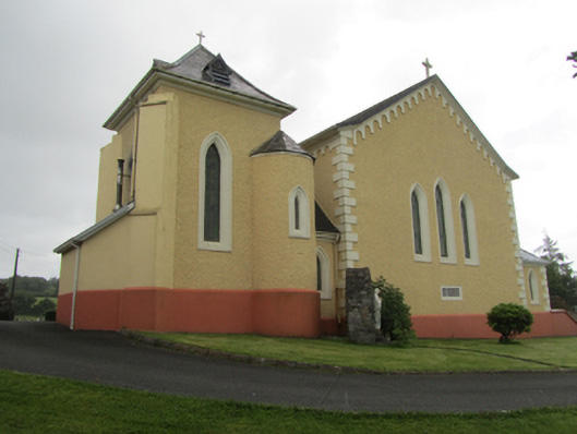 St Dymphna's Roman Catholic Churchchurch/chapel · 1.4 mi
 Derry ForestForest · 2.2 mi
 Ancient Order of Hibernians MemorialMemorial · 2.6 mi
 Pottle ForestForest · 3.0 mi
 To The Memory of P.J. DukeMemorial · 3.7 mi
 Bawn in DuffcastleBawn · 3.7 mi