What is recorded here
Cairn is a low, grass-covered, flat-topped stone mound on a broad west-facing slope in County Clare, Ireland. It sits within a multiperiod field system and near several enclosures, marking a place where people shaped the land across centuries. The stones may have guided herds, marked a boundary or honoured a memory now lost. Whatever they were, they are still there, holding the shape of human attention on an ordinary ridge.
On the broad W-facing slope of an E-W ridge, in rough pasture within a multiperiod field system (CL009-166001-). This is a low, grass-covered and flat-topped cairn (H 0.3-0.8m; base 7.8m N-S; 7m E-W; top 4.5m E-W; 3.4m N-S). There are enclosures (CL009-196003-; CL009-252----; CL009-196001-) c. 30m to the ESE, c. 48m to the SSE and c. 66m to the ENE respectively.
Compiled by: Mary Tunney and Conn Herriott
Date of upload: 12 July 2022
A Bronze Age cairn; its presence indicates early land use and burial practices in a multiperiod landscape.
The monument record does not grant public access. Check the route and ask the landowner before entering private land.
- What survives
- Recorded monument
Places near here
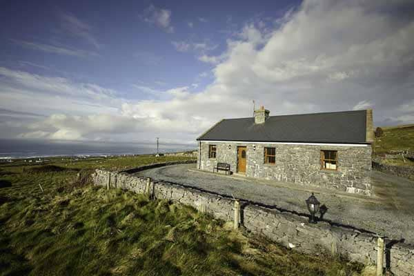 Enclosure in CaherfaddaEnclosure · 86 yd
 Enclosure in MoygownaEnclosure · 567 yd
 Templeline (in ruins)Church · 1670 yd
 Farbrega RockNamed rock · 1.3 mi
 Fergus River CaveCave · 1.4 mi
 Leamaneh CastleCastle · 1.4 mi
 Leamaneh Castle (in ruins)House, fortified house · 1.4 mi
 Saint Joseph's Catholic Churchchurch/chapel · 2.0 mi
 Inchiquin IslandIslet · 3.2 mi
 Rock IslandIsland · 3.2 mi
 CaherconnellHeritage attraction · 3.4 mi
 Cave of the Wild HorsesCave · 3.6 mi