What is recorded here
Cairn sits at the northwest end of Clare Island, a loose pile of large stones on a small terrace above high cliffs. The uncertain shape may be a ruined marker or the remains of a temporary shelter, while nearby field walls suggest the knoll once belonged to an extensive local landscape. People may have stood there to watch the coast, tend animals or remember an event now lost.
At the NW end of Clare Island, located on a small terrace, on the S-facing slope of a rocky knoll. High cliffs drop to the sea c. 200m to N. The terrace faces W and S, providing good views over a broad, open expanse of coastal commonage.
This is evident as a low, loose concentration (8-10m ESE–WNW; 2.5-3m NNE–SSW) of large stones, partly sod-bound. A few stones appear to be set, in particular a small arc (c. 2m across) of stones appended to the SW edge of the cairn. The nature of monument is uncertain; it appears to be a very ruined cairn, but it may be the remnants of hut site, or the remnants of a cairn which was reused as a hut site.
There is a possible hut site (MA084-037----) located 45m to N. Relict field walls, part of an extensive field system (MA084-001001-), are located close by on the W, N and E slopes the knoll. One wall, c. 40m to N, describes an irregular, meandering arc (c. 35m N–S) across the E slope of the knoll.
Notified to NMS by Michael Gibbons.
Compiled by: Jane O'Shaughnessy
Date of upload: 22 January 2020
The monument record does not grant public access. Check the route and ask the landowner before entering private land.
- What survives
- Recorded monument
Places near here
 Enclosure in BunnamohaunEnclosure · 387 yd
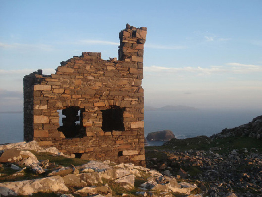 Shivel Head Signal Towersignal tower · 470 yd
 Clare Island Signal TowerRuins · 471 yd
 farm housefarm house · 1299 yd
 KnockmoreMountain / peak · 1602 yd
 Clare IslandIsland · 1.8 mi
 ScalpatruceMountain / peak · 1.8 mi
 Granuaile's CastleCastle · 3.7 mi
 Acaill BheagIsland · 5.6 mi
 Turloughbeg StrandBeach / strand · 6.3 mi
 Kildavnet CastleCastle, tower house · 6.7 mi
 Caisle án GhráinneHeritage attraction · 6.7 mi