What is recorded here
Ancient hands built the flat circular base, but later workers stripped its stones to raise the taller conical Mackenzies Monument above it. The mountain gave up part of itself so the cartographer could have his marker, layering human ambition upon older forgotten purpose.
Situated on a local eminence towards the south-western end of the summit ridge of Knockmore (known locally as ‘the Big Hill’). Although overlooked to NW by the highest point of the mountain (462m), the cairn itself is visible from many points on the island and beyond. As presently constituted, it consists of a low, circular, ancient cairn upon which sits a relatively modern conical cairn. The earlier cairn, roughly circular in plan (NE–SW c. 12.2m, NW–SE c. 11.6m), is flat-topped in profile and is defined by a scarp. Its edges are well defined from N through E and S to SW and are up to 0.65m in height at E. It is composed of compacted angular lichen-covered stone (max. dim. 0.6m). From SW to N, its edges are less distinct and the cairn material is looser, probably as a result of it being partially disturbed and/or robbed out. Traces of shallow pitting in the cairn surface in this sector appear to confirm that it was robbed, probably to build/repair the modern cairn that crowns it.
The modern cairn sits centrally on the ancient one. Although placed elsewhere by Ó Muraíle (1999, no. 64, 109), the label ‘Mackenzies Monument’ almost certainly applies to this cairn and suggests that its construction was related to the maritime cartographic work of Murdoch Mackenzie (1774). Of drystone construction, it is a substantial structure, 2.8m in height above the top of the older cairn. It is roughly circular in plan (NE–SW c. 4.3m, NW–SE c. 3.5m), save for a ragged projection at its base in NE sector, possibly the by-product of relatively recent rebuilding. Conical in profile, it is built of angular stones (max. dim. 0.65m) with a rough facing. While the lower courses comprise flat slabs, in general laid horizontally, the upper portions are simply a jumble of stones and slabs wedged into place.
The above description is derived from: New Survey of Clare Island. Volume 5: Archaeology. Edited by Paul Gosling, Conleth Manning and John Waddell. (Royal Irish Academy, Dublin. 2007). In certain instances the entries have been revised and updated.
Date of upload: 29 November 2018
The monument record does not grant public access. Check the route and ask the landowner before entering private land.
- What survives
- Recorded monument
Places near here
 KnockmoreMountain / peak · 406 yd
 Enclosure in BunnamohaunEnclosure · 976 yd
 farm housefarm house · 1391 yd
 DoonPromontory fort, coastal · 1715 yd
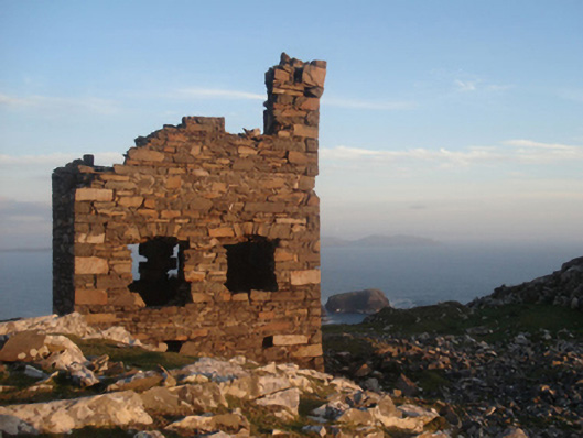 Shivel Head Signal Towersignal tower · 1723 yd
 Clare IslandIsland · 1.0 mi
 ScalpatruceMountain / peak · 1.1 mi
 Granuaile's CastleCastle · 3.0 mi
 Acaill BheagIsland · 5.0 mi
 Turloughbeg StrandBeach / strand · 5.9 mi
 Kildavnet CastleCastle, tower house · 6.1 mi
 Caisle án GhráinneHeritage attraction · 6.1 mi