What is recorded here
Clear water rushed through the narrow gap and filled the chamber. The chamber was not a chamber at all, but a room shaped by the chance alignment of rocks. Cairn stood at the edge of the new sea, half buried and unchanged, while the living world redrew itself around it.
Situated in a relatively flat area within an extensive field system (MA084-001001-) on the exposed commonage at the extreme western end of the island. An earthfast stone, 1.5m to SE of the cairn, bears an artificial cup mark (MA084-010----). The cairn consists of a small, low mound of loose stones and small boulders roughly circular in plan (E–W 6.6m, N–S 6.5m). Rising to a maximum height of 0.5m above the surrounding ground surface, it is flat or even slightly dished in profile. A number of large angular boulders appear to delimit it at intervals from SE through S to W. However, none of these are well set, although all of them project slightly above the cairn. One striking example is a large flat slab (L 1.1m × H 0.6m × T 0.2m) to S. Another, of similar character (L 1.1m × H 0.6m × T 0.15m), protrudes from the cairn close to its eastern limits. Although the latter would appear to form the western side of a small hollow, any resemblance to a ruined chamber may well be entirely fortuitous. A much ruined turf stack lies only 1m to ESE of the cairn: much of its fabric is probably derived from it. At S, a low, smooth, grass covered ridge-like feature (Wth 2.5–3m × H 0.6m) extends from the edge of the cairn for c. 2m before petering out in a jumble of stones that form part of the turf stand. The cup-marked boulder (MA084-010----) lies at base of this ridge on its southern side.
The above description is derived from: New Survey of Clare Island. Volume 5: Archaeology. Edited by Paul Gosling, Conleth Manning and John Waddell. (Royal Irish Academy, Dublin. 2007). In certain instances the entries have been revised and updated.
Date of upload: 29 November 2018
A Neolithic cairn; its significance lies in the presence of a cupmarked stone nearby, indicating ritual or ceremonial activity associated with the site.
The monument record does not grant public access. Check the route and ask the landowner before entering private land.
- What survives
- Recorded monument
Places near here
 Enclosure in BunnamohaunEnclosure · 457 yd
 farm housefarm house · 789 yd
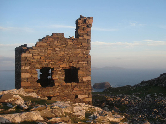 Shivel Head Signal Towersignal tower · 893 yd
 Clare Island Signal TowerRuins · 894 yd
 KnockmoreMountain / peak · 1.2 mi
 Clare IslandIsland · 1.9 mi
 ScalpatruceMountain / peak · 1.9 mi
 Granuaile's CastleCastle · 3.6 mi
 Caher IslandIsland · 5.3 mi
 Turloughbeg StrandBeach / strand · 6.0 mi
 Carrownisky BeachBeach / strand · 6.5 mi
 Kildavnet CastleCastle, tower house · 7.1 mi