What is recorded here
Half a metre high, the cairn sits on a limestone ledge above grassland, its narrow western entrance still breaking the bank while tree trunks and concrete blocks now clutter the central depression. The view stretches south toward Clahane, inviting people to climb the ledge and look far across the county. What the mound guarded or marked has faded, but the wide sky and buried slab preserve the shape of that forgotten purpose.
'This low mound is located on top of a limestone reef which, despite not being very high, affords splendid views in all directions, but especially towards the south, where one of the mountain-top cairns at Clahane can be seen. The surrounding land is primarily grassland having been intensively cultivated, the nearby RMP KE038:16 is now little more than a cropmark in a grassy field. This low, 0.5m high mound contains much stone and has a circular central depression with a narrow entrance at south. The mound measures 10.5m N-S by 11.0m E-W, the average width of the enclosing bank being 4.00m in width. The bank survives best at north where it has a maximum height of 0.50m, the height of the bank decreasing at east and south to an average external height of 0.20m. The entrance, which occurs at west, represented by a narrow break in the enclosing element, is 0.75m in width, the enclosing element being 2.50m in width at this point. The central depression is c.2.50m in diameter and is 0.40m below the crest of the enclosing bank. The land owner has recently tipped tree-trunks, concrete blocks etc. in the interior. A semi-recumbent limestone slab occurs in the eastern part of the interior, measuring 1.40m long by 0.75m wide by 0.30m thick. It is partially embedded in the ground, and may still be in situ. Total dimensions of the site are 17.0m E-W by 10.5m wide N-S.'
Compiled by Michael Connolly for the Archaeological Survey of Ireland as part of a survey of the Lee Valley area in 1996-97.
Date of upload: 03 May 2012
A Neolithic cairn; its location on a limestone reef suggests it may have had ritual or territorial significance, possibly linked to broader Neolithic monument networks in the region.
The monument record does not grant public access. Check the route and ask the landowner before entering private land.
- What survives
- Recorded monument
Places near here
 Enclosure in BallyseedyEnclosure · 248 yd
 European YewEuropean Yew · 647 yd
 Ballyseedy WoodWood · 1014 yd
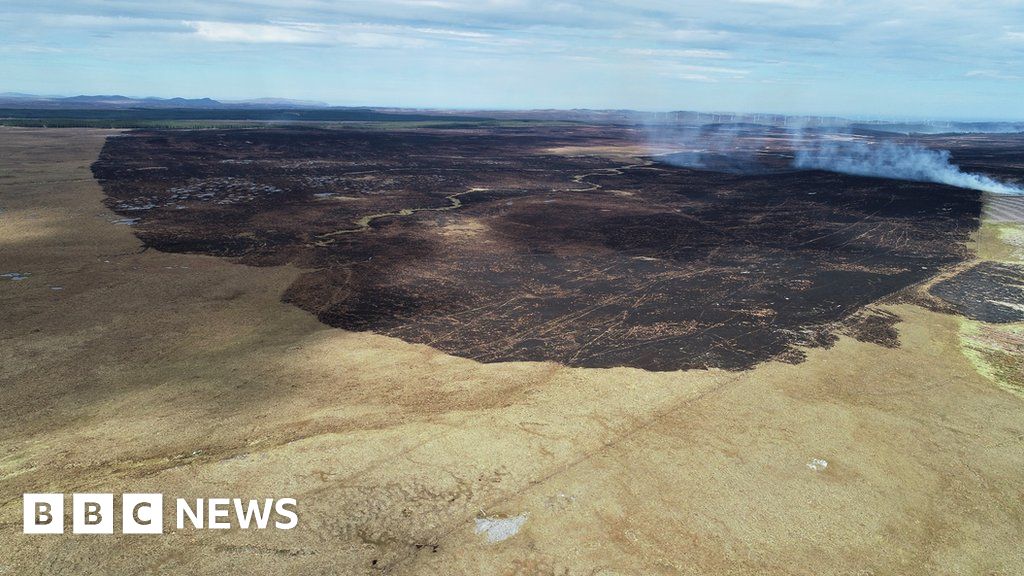 Burnt spread in Caherleheen (trughanacmy By., Ballyseedy Par.)Burnt spread · 1101 yd
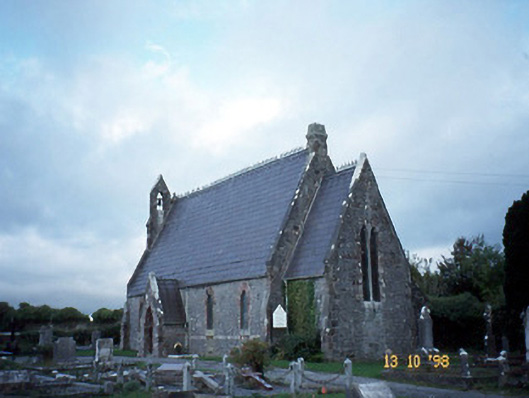 Ballyseedy Churchchurch/chapel · 1551 yd
 Ballyseedy Church (in ruins)Church · 1562 yd
 Ballyseede Castle HotelCastle · 1667 yd
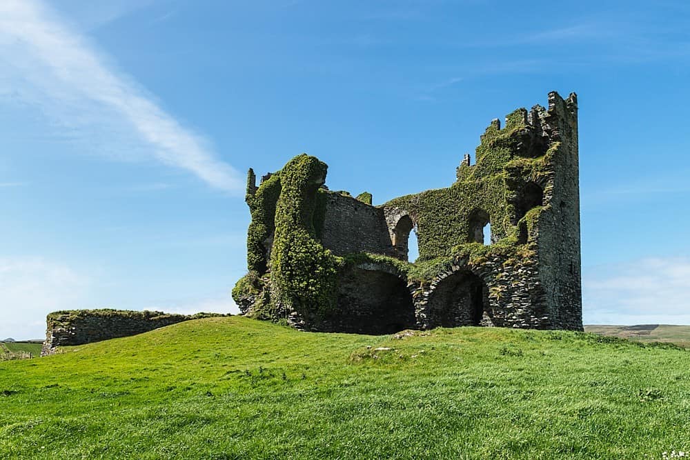 CastleCastle, unclassified · 1.0 mi
 Civil War MemorialMemorial · 1.6 mi
 Kerry County MuseumMuseum · 2.1 mi
 Sonny McCarthy MemorialMonument · 2.1 mi
 John Hurley GalleryGallery · 2.2 mi