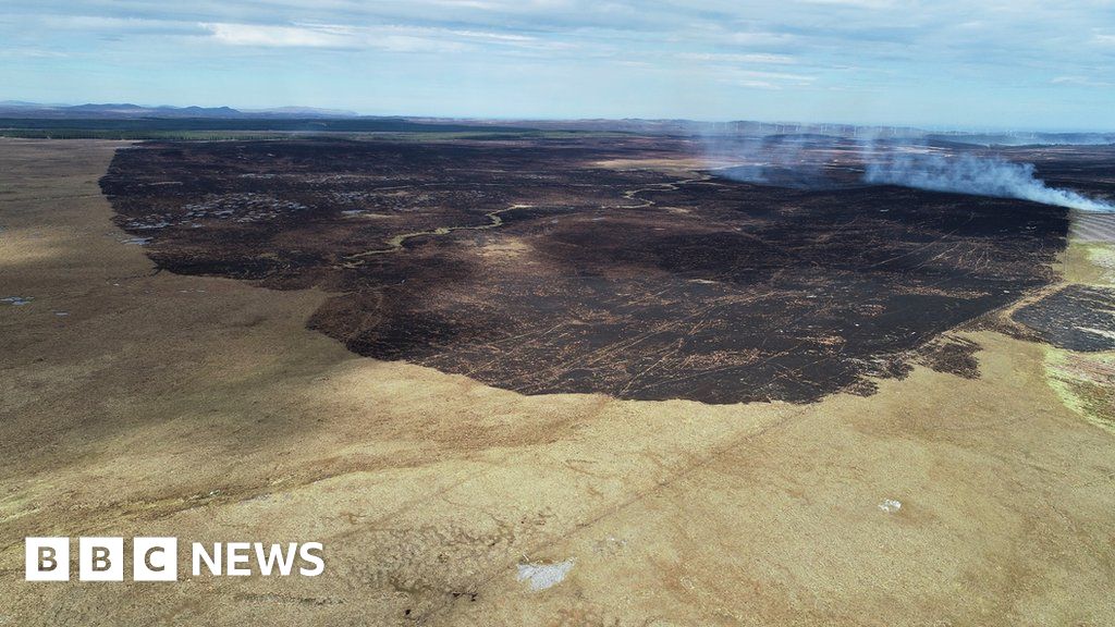
What is recorded here
Four metres of charred soil and shattered stone lay hidden beneath new house groundwork in Caherleheen, waiting for a passing eye rather than a map. The circular burnt spread belonged to someone who stood there long before roads or rooms, heating food or marking a boundary now forgotten. A modern builder stripped the ground and nearly erased that life, yet a little charcoal remained to prove the dark fire had raged.
'This site was not indicated on available maps or on aerial photography and was noted while passing an area that had recently been stripped as part of the ground works relating to the construction of a new dwelling house. Remains of the spread on the ground surface were minimal though the remaining material suggested the spread was circular with a diameter of 4m. The mounded soil from this part of the site also contained charcoal rich soil and some fire shattered stone.'
Description from ‘The Prehistoric Settlement of the Lee Valley, Tralee, Co. Kerry; A Landscape Perspective’ by Michael Connolly. PhD Thesis UCC 2008
Date of upload: 22 June 2012
The monument record does not grant public access. Check the route and ask the landowner before entering private land.
- What survives
- Recorded monument
Places near here
 Enclosure in BallyseedyEnclosure · 1315 yd
 Megalithic structure in Camp (trughanacmy By., Ballyseedy Ed)Megalithic structure · 1501 yd
 European YewEuropean Yew · 1570 yd
 Ballyseedy WoodWood · 1.2 mi
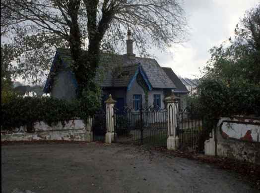 Cloghersgate lodge · 1.4 mi
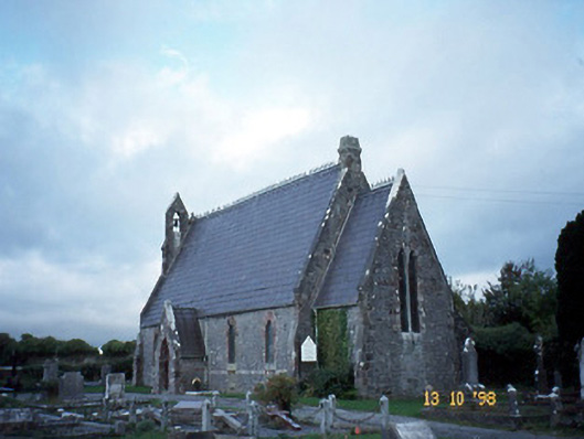 Ballyseedy Churchchurch/chapel · 1.4 mi
 Ballyseede Castle HotelCastle · 1.6 mi
 Scotia's GraveArchaeological place · 1.6 mi
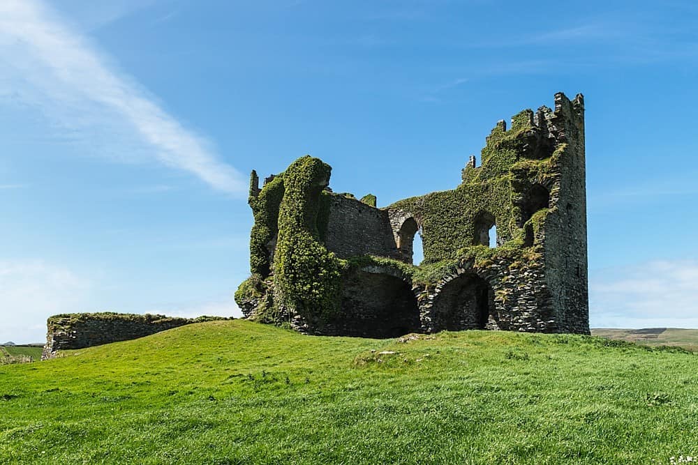 CastleCastle, unclassified · 1.7 mi
 Civil War MemorialMemorial · 1.7 mi
 Knockmichael MountainMountain / peak · 2.0 mi
 Kerry County MuseumMuseum · 2.2 mi
Other information
Photo: Credit not shown in the picture search · Rights wording not checked; contact us if this picture should be removed