What is recorded here
Clear the stones and an old chamber appears, proving the hill still holds what human hands buried. The cist sits shallow enough to touch, yet deep enough to keep its secret from casual feet. Red clay and charred bone suggest a violent or ceremonial ending, not a quiet forgotten deposit. The cairn did not decorate the landscape; it marked a wound the community chose to remember.
During the removal of a stone cairn, a cist was found on the N side. It was 3 yds square and 3ft deep. 'Red clay and charred bone' were found in it. (NMI)
The above description was derived from the 'Archaeological Survey of County Donegal. A description of the field antiquities of the County from the Mesolithic Period to the 17th century.' Compiled by: Brian Lacey with Eamon Cody, Claire Cotter, Judy Cuppage, Noel Dunne, Vincent Hurley, Celie O'Rahilly, Paul Walsh and Seán Ó Nualláin (Lifford: Donegal County Council, 1983). In certain instances the entries have been revised and updated.
Date of upload: 22 September 2008
The monument record does not grant public access. Check the route and ask the landowner before entering private land.
- What survives
- Recorded monument
Places near here
 Drumfad Lower Standing StoneStanding stone · 684 yd
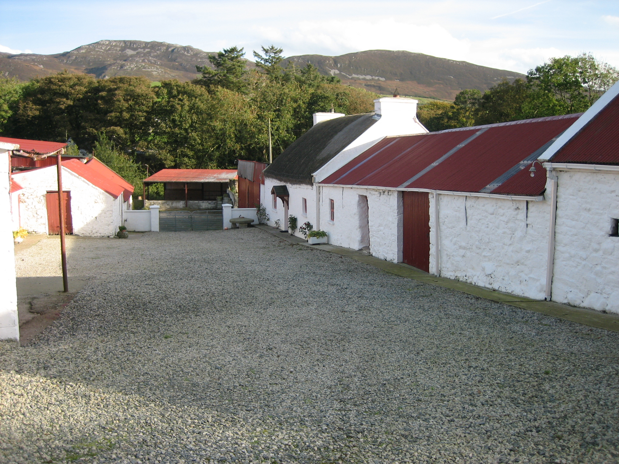 farmyard complexfarmyard complex · 1730 yd
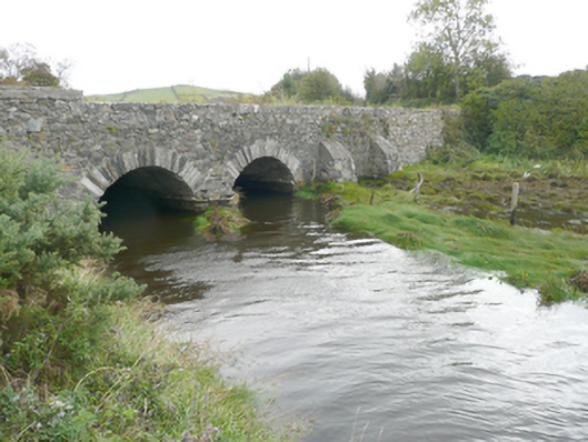 New Bridgebridge · 1.2 mi
 Gortnatraw South Stone-and-Earth RingfortFairy fort / stone ringfort · 1.7 mi
 PortsalonOfficial bathing water · 2.0 mi
 Ballymastocker StrandViewpoint · 2.3 mi
 Wild Atlantic Way:Ballymastocker StrandVisitor information · 2.3 mi
 Moross CastleCastle, tower house · 2.9 mi
 Cranberry IslandIslet · 3.3 mi
 Wych ElmWych Elm · 3.5 mi
 Old CastleCastle, unclassified · 3.6 mi
 HazelHazel · 3.7 mi