What is recorded here
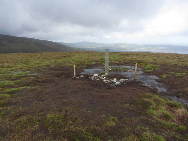
Circular cairn (diam. 20m) situated on the summit of Sorrel Hill with commanding views. Some large boulders around the perimeter may indicate the presence of a kerb.
The above description is derived from the published 'Archaeological Inventory of County Wicklow' (Dublin: Stationery Office, 1997). In certain instances the entries have been revised and updated in the light of recent research.
Date of upload/revision: 17 December 2008
Circular cairn, likely dating to the Neolithic or early Bronze Age. Its elevated position suggests ceremonial or ritual significance, common in prehistoric funerary and territorial monuments.
The monument record does not grant public access. Check the route and ask the landowner before entering private land.
- What survives
- Recorded monument
Places near here
 Sorrel HillMountain / peak · 49 yd
 Enclosure in KilbegEnclosure · 1188 yd
 Enclosure in Ballynasculloge LowerEnclosure · 1.4 mi
 Lacken – Mass Path LoopWalking route · 1.7 mi
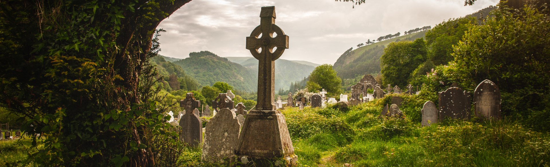 Templebodin Ch. (in Ruins)Church · 1.8 mi
 Black HillMountain / peak · 1.8 mi
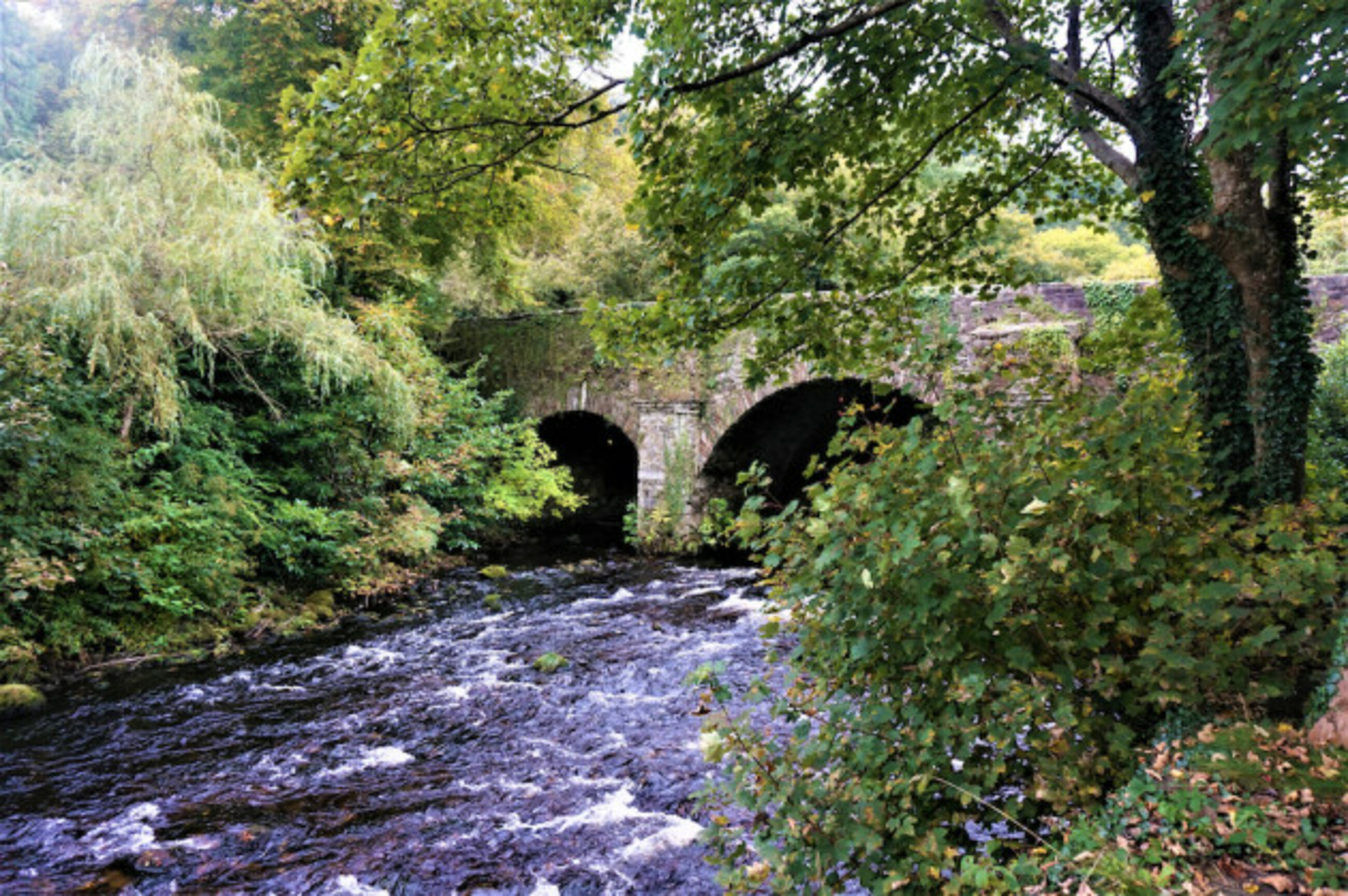 Athdown MoatCastle, motte · 2.0 mi
 OldcourtMemorial · 2.2 mi
 Site of CastleCastle, unclassified · 2.3 mi
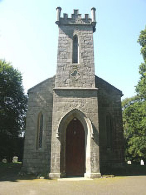 Saint John's Church (Kilbride)church/chapel · 2.8 mi
 Scots PineScots Pine · 2.9 mi
 Coronation PlantationWood · 3.4 mi