What is recorded here
Mangerton Mountain rises from behind the stones, and the second cairn waits twenty-three metres away like a matched promise. The first circle holds both limestone and sandstone, marking a ridge where sight and memory still move together.
In a heavily overgrown area of rough pasture on the S-facing slopes of a ridge, with views S to Mangerton Mountain. A roughly circular cairn (diam. 1.7m; H 0.5m) of both limestone and sandstone stones of assorted sizes. Another cairn (KE067-094002-) is c. 23m to the NNE. (O'Donnell 2001; O'Donnell 2003)
Compiled by: Elizabeth Byrne, Ursula Egan and Sheila Ronan, Archaeological Survey Unit, University College, Cork.
Date of upload: 31 January 2011
The monument record does not grant public access. Check the route and ask the landowner before entering private land.
- What survives
- Recorded monument
Places near here
 Hut site in BallahacommaneHut site · 31 yd
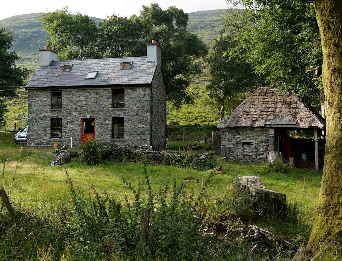 Enclosure in BallahacommaneEnclosure · 228 yd
 Lissivigeen Stone CircleHeritage attraction · 1.3 mi
 Mass RockNamed rock · 1.4 mi
 Woodfordhouse · 1.6 mi
 Religious houseReligious house, Franciscan friars · 1.6 mi
 Flesk CastleCastle · 2.0 mi
 Sheheree Bog Nature ReserveNature reserve · 2.5 mi
 Killaha Castle (in Ruins)Castle, tower house · 3.2 mi
 Killarney First World War MemorialMemorial · 3.2 mi
 Jaunting ToursHeritage attraction · 3.2 mi
 Blue Pool Nature ReserveWood · 3.3 mi