What is recorded here
Mangerton Mountain watches the small circular cairn on the Kerry ridge, where limestone and sandstone still touch after being forgotten by pasture. The second cairn waits twenty-five metres away, large enough to mark a line, a boundary or a dead person, but silent about which.
In a heavily overgrown area of rough pasture, on the S-facing slopes of a ridge, with views S to Mangerton Mountain. A roughly circular cairn (diam. 1.8m; H 0.6m) of both limestone and sandstone stones of assorted sizes. Another cairn (KE067-094004-) is c. 25m to the SE. (O'Donnell 2001; O'Donnell 2003)
Compiled by: Elizabeth Byrne, Ursula Egan and Sheila Ronan, Archaeological Survey Unit, University College, Cork.
Date of upload: 31 January 2011
The monument record does not grant public access. Check the route and ask the landowner before entering private land.
- What survives
- Recorded monument
Places near here
 Hut site in BallahacommaneHut site · 43 yd
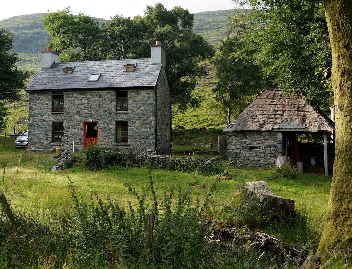 Enclosure in BallahacommaneEnclosure · 224 yd
 Lissivigeen Stone CircleHeritage attraction · 1.3 mi
 Mass RockNamed rock · 1.4 mi
 Woodfordhouse · 1.6 mi
 Religious houseReligious house, Franciscan friars · 1.6 mi
 Flesk CastleCastle · 2.1 mi
 Sheheree Bog Nature ReserveNature reserve · 2.5 mi
 Killaha Castle (in Ruins)Castle, tower house · 3.2 mi
 Killarney First World War MemorialMemorial · 3.2 mi
 Jaunting ToursHeritage attraction · 3.2 mi
 Blue Pool Nature ReserveWood · 3.3 mi