
What is recorded here
Thirty metres of angry local stone circle the Laughanstown wedge tomb, hiding a porphyry axe and grinding tools within its oval bank. People likely gathered there to feed the tomb, grind grain or mark the boundary between the living and the dead. The motorway exposed what rain and grass had forgotten, proving that even ordinary ground can hold a chamber of human urgency.
To the S of the wedge tomb at Laughanstown (26:24) a low oval embanked monument (Diam c. 30m) was identified during works on the South-Eastern Motorway. The bank was composed of field stones, sometimes grouped around glacial erratics. Artifacts recovered from among the stones included a saddle quern, a maul, a porphyry stone axe and hammerstones. Fragments of burnt one were found scattered across the ground surface. In the centre of the enclosure there were a number of pits, one contained a spindle whorl, the other a saddle quern (Seaver 2003, 129).
Ring-cairn, Late Neolithic or Early Bronze Age. Its location near a known wedge tomb suggests ritual or funerary significance in a broader prehistoric landscape.
The monument record does not grant public access. Check the route and ask the landowner before entering private land.
- What survives
- Recorded monument
Places near here
 Field system in LaughanstownField system · 75 yd
 CarnCairn, unclassified · 176 yd
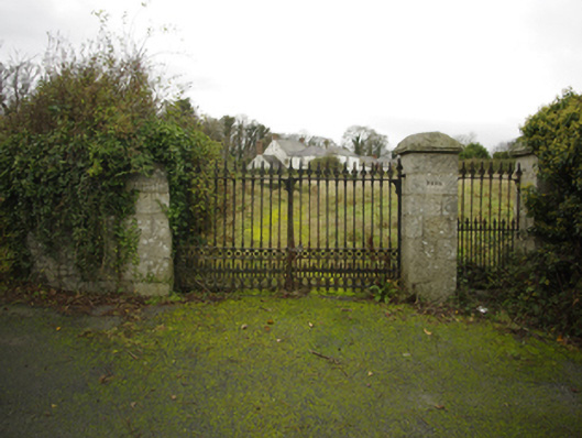 Lehaunstown Parkfarm house · 457 yd
 Church (in Ruins)Church · 574 yd
 Puck's CastleCastle · 1379 yd
 Bawn in RathmichaelBawn · 1404 yd
 Rathmichael WalkWalking route · 1568 yd
 Loughlinstown WoodsNature reserve · 1738 yd
 Dingle GlenNature reserve · 1.2 mi
 Proclamation of the Irish RepublicMemorial · 1.3 mi
 Michael DavittMemorial · 1.3 mi
 Cabinteely Park OrchardVisitor information · 1.4 mi
Other information
Photo: Credit not shown in the picture search · Rights wording not checked; contact us if this picture should be removed