What is recorded here
Owenreagh holds a prehistoric cairn, yet no visible stone remains in the data. That absence does not diminish the site; it suggests the land itself carried the marker before human eyes could judge it.
The official Northern Ireland record identifies this as CAIRN. Recorded period: PREHISTORIC. The official map point was placed at the centre of the recorded archaeological site from the source map reference.
The monument record does not grant public access. Check the route and ask the landowner before entering private land.
- What survives
- Recorded monument
Places near here
 ENCLOSURE in CloughfinENCLOSURE · 1.7 mi
 ENCLOSURE & BULLAUN in GlengomnaENCLOSURE & BULLAUN · 1.8 mi
 St Columba's ChurchChurch · 2.1 mi
 Lough FeaWalking route · 2.4 mi
 Presbyterian ChurchChurch · 3.3 mi
 Slieve GallionMountain / peak · 3.6 mi
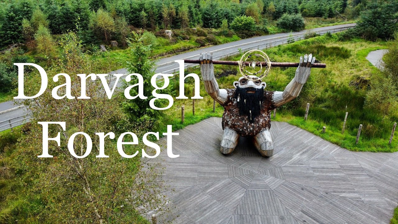 Davagh ForestForest · 4.0 mi
 Slieve Gallion NE TopMountain / peak · 4.1 mi
 Goles ForestNature reserve · 4.5 mi
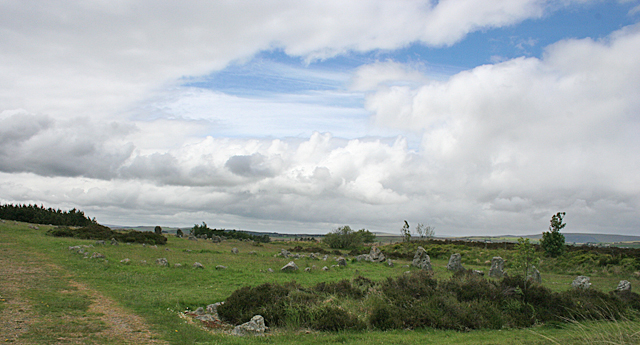 BeaghmoreArchaeological place · 5.6 mi
 Beaghmore Stone CirclesVisitor information · 5.6 mi
 Craig-na-ShokeCliff · 6.0 mi