What is recorded here
Located in a coniferous forest on Inchiquin or Rabbit Island in Lough Bofin on the River Shannon, which is now joined to the mainland at N. A ‘mound’ is depicted only on the 1835 edition of the OS 6-inch map, and it is described as ‘a mound of stones gathered by workmen …’ (OS Name Book No. 83). This is a circular stone mound (diam. 11.5m; H 1.25m) composed of large boulders (dims up to 1m), but no structural features are visible.
The above description is derived from 'The Archaeological Inventory of County Leitrim' compiled by Michael J. Moore (Dublin: Stationery Office, 2003). In certain instances the entries have been revised and updated in the light of recent research.
Compiled by: Michael Moore
Date of upload: 23 September 2008
Amended: 6 January 2020
The monument record does not grant public access. Check the route and ask the landowner before entering private land.
- What survives
- Recorded monument
Places near here
 Inchmurrin or Rabbit IslandIslet · 180 yd
 Otter IslandIslet · 392 yd
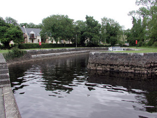 quay/wharfquay/wharf · 1133 yd
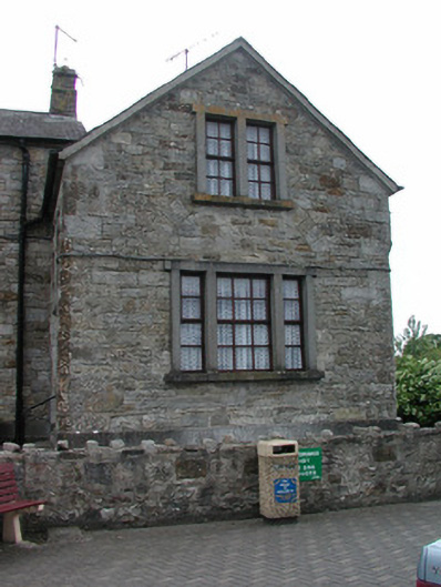 Dromod Garda Síochána Stationcourt house · 1415 yd
 Cavan & Leitrim RailwayMuseum · 1.0 mi
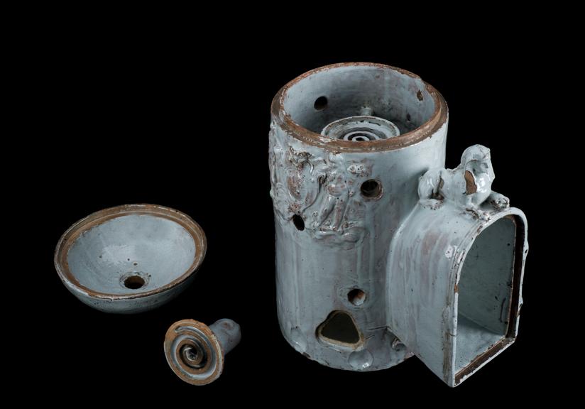 LiscromaunFairy fort / earthen ringfort · 1.4 mi
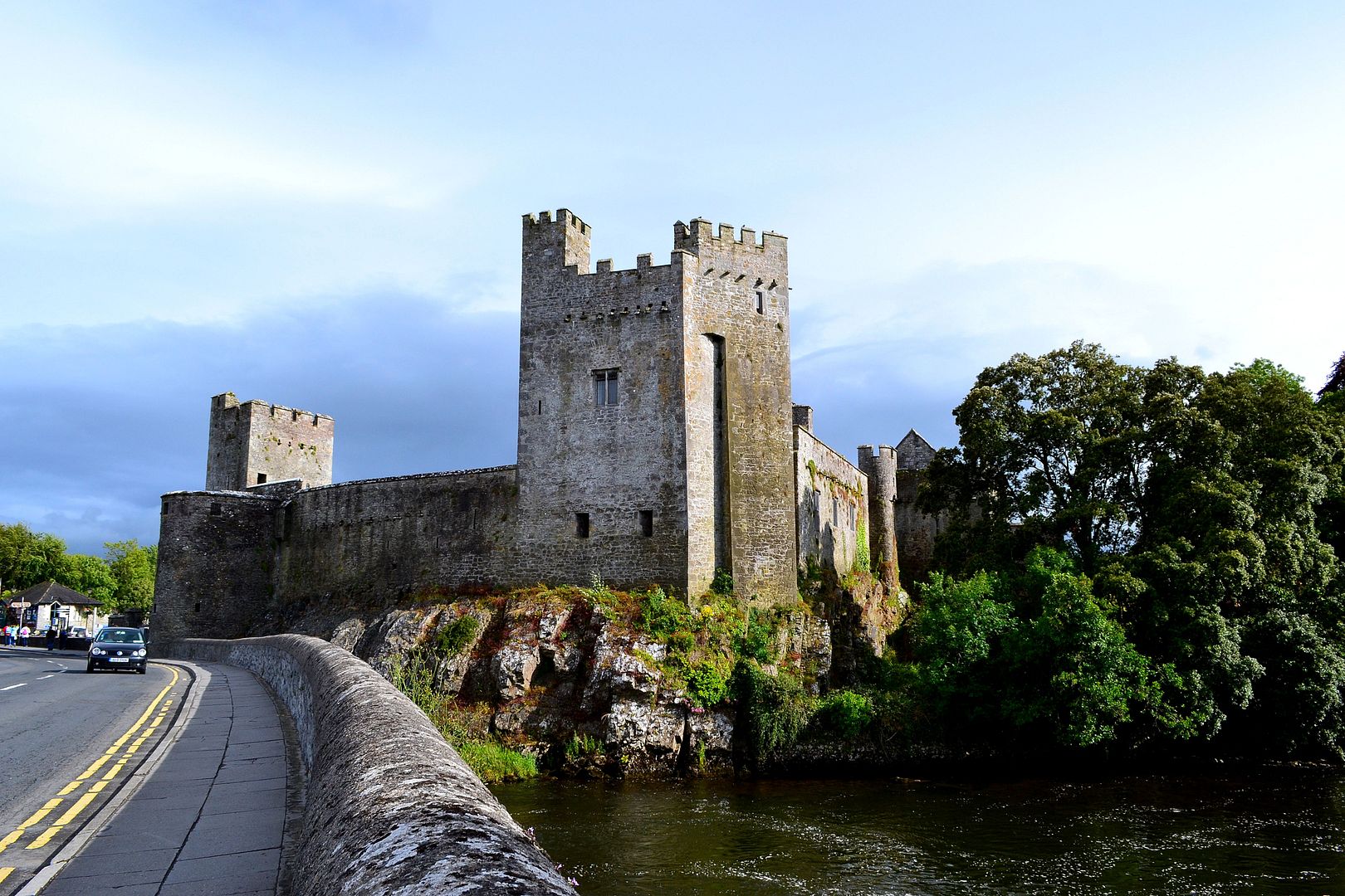 Carrigeen FortArchaeological place · 1.9 mi
 Coarse IslandForest · 2.1 mi
 Monkey-puzzleMonkey-puzzle · 4.5 mi
 Site of Dangan CastleCastle, unclassified · 4.6 mi
 OratoryCastle, tower house · 4.8 mi
 Tom Dunphy MemorialMemorial · 5.0 mi