What is recorded here
Carnanard is a buried or hidden cairn in County Antrim, perhaps a pile of stones now lost beneath grass or forgotten by people. The name suggests a connection to neade, possibly a personal name or local word, but the meaning remains uncertain. What is clear is that the place still belongs to the land, even if the stones are no longer visible.
The official Northern Ireland record identifies this as CAIRN?: CARNANARD or CARN NA NEADE. Recorded period: UNCERTAIN. The official map point was placed at the centre of the recorded archaeological site from the source map reference.
A portal dolmen; likely dates to the Early Bronze Age. Its significance lies in its association with early megalithic funerary traditions in the region.
The monument record does not grant public access. Check the route and ask the landowner before entering private land.
- What survives
- Recorded monument
Places near here
 ENCLOSURE in CommonsENCLOSURE · 700 yd
 North Carn ForestForest · 1201 yd
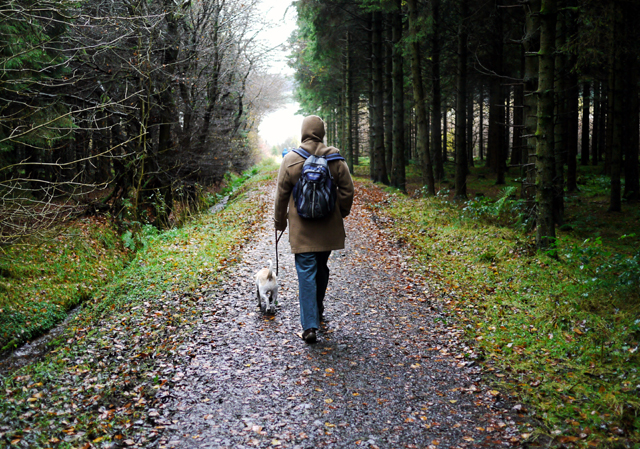 Woodburn ForestForest · 1.4 mi
 ENCLOSURE in BallylaganENCLOSURE · 1.4 mi
_-_geograph.org.uk_-_652849.jpg?width=1280) The County Antrim War MemorialMemorial · 2.9 mi
The County Antrim War MemorialMemorial · 2.9 mi O'Haughan's CaveCave · 2.9 mi
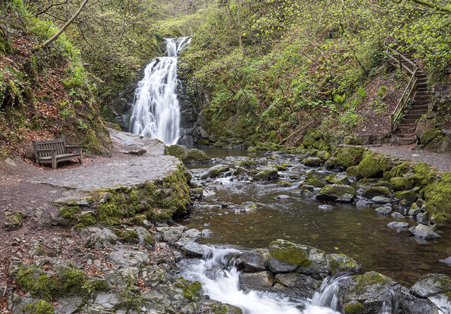 Glenoe WaterfallWaterfall · 4.1 mi
 Carrickfergus Railway StationRailway Station Structures · 4.1 mi
 US RangersMemorial · 4.1 mi
 Siege of Carrickfergussiege · 4.2 mi
 MEDIEVAL PARISH CHURCH, POST-MED. & MODERN CHURCH & GRAVEYARD: ST NICHOLAS' CHURCH, ST NICHOLAS OF CRAGFERGUS in CarrickfergusMEDIEVAL PARISH CHURCH, POST-MED. & MODERN CHURCH & GRAVEYARD: ST NICHOLAS' CHURCH, ST NICHOLAS OF CRAGFERGUS · 4.2 mi
 Carrickfergus MuseumMuseum · 4.3 mi