What is recorded here
Carnafrannoге remains a question mark on the Slane landscape, neither confirmed nor dismissed. The name itself hedges between two possibilities, refusing to commit. Whatever stood there has withdrawn into ambiguity, leaving only a coordinate and a doubt.
The official Northern Ireland record identifies this as CAIRN?: CARNAFANNOGE or SLANE (placename evidence only). Recorded period: UNCERTAIN. The official map point was placed at the centre of the recorded archaeological site from the source map reference.
The monument record does not grant public access. Check the route and ask the landowner before entering private land.
- What survives
- Recorded monument
Places near here
 TWO ENCLOSURES & FIELD SYSTEM in AntynanumTWO ENCLOSURES & FIELD SYSTEM · 903 yd
 ENCLOSURE (part of field system ant 029:070) in AntynanumENCLOSURE (part of field system ant 029:070) · 989 yd
 Collin TopMountain / peak · 3.5 mi
 Mid HillMountain / peak · 3.6 mi
 Glenarm ForestForest · 3.7 mi
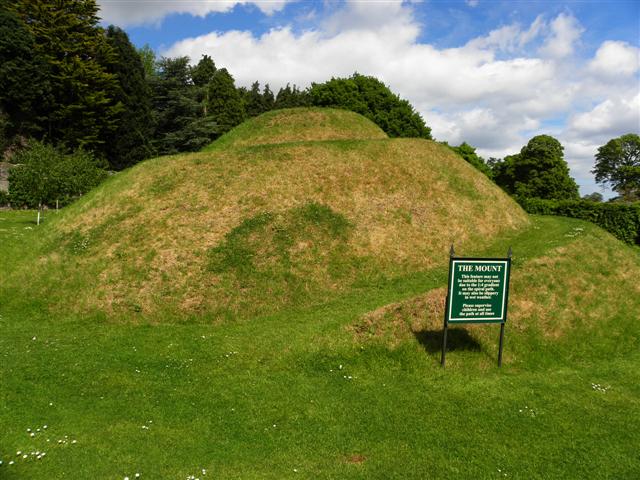 The MountViewpoint · 4.1 mi
 Cranny FallsWaterfall · 4.1 mi
 Glenarm CastleCastle · 4.2 mi
 Presbyterian ChurchChurch · 4.3 mi
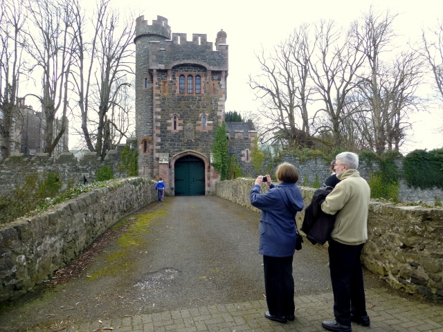 CASTLE (site of) in Town Parks (glenarm)CASTLE (site of) · 4.3 mi
 FRANCISCAN FRIARY & CHURCH (in ruins) in Cloney, GlenarmFRANCISCAN FRIARY & CHURCH (in ruins) · 4.4 mi
 Millennium MilepostVisitor information · 4.4 mi