What is recorded here
Cairn is a cairn, burial cairn in Skrine, County Roscommon, Ireland. It stands towards the SW edge of the N-S karst ridge of Skrine Hill as a circular grass-covered mound 13m wide and 0.4m high. A rectangular cist 3m by 2.2m sits at the centre, defined by low stones with some gaps. A whitethorn tree has split one lintel, though no other lintels remain visible.
Towards the SW edge of the N-S karst ridge of Skrine Hill. Circular grass-covered cairn (diam. 13m E-W; H 0.4m) with a rectangular cist (RO041-062002-) (dims 3m N-W; 2.2m N-S) at the centre. This is defined by low stones (dims 0.5-1.45m x 0.1-0.2m; H 0.2m-0.5m) with some gaps. A whitethorn tree has split a lintel, but there are no other lintels present. Cairn (RO041-063001-) is c. 50m to the NE. Archaeological testing (08E0700) c. 150m to the NW failed to produce any related material (Delaney 2011b).
Compiled by: Michael Moore
Date of upload: 20th June 2011
See attached document with a plan of the remains.
Burial cairn with central cist, likely dating to the Neolithic or Early Bronze Age. Its significance lies in the presence of a central stone cist, indicating a formal burial practice associated with early funerary monuments in the region.
The monument record does not grant public access. Check the route and ask the landowner before entering private land.
- What survives
- Recorded monument
Places near here
 IndicatedFairy fort / earthen ringfort · 878 yd
 CrossCross, Wayside cross · 1477 yd
 CastleCastle, unclassified · 1576 yd
 Church in SkrineChurch · 1581 yd
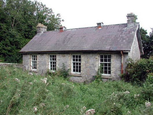 Saint Patrick's National Schoolschool · 1.5 mi
 TogherfinnForest · 1.7 mi
 Bolinree WoodForest · 2.1 mi
 Hangman's HillMountain / peak · 3.6 mi
 Castle (Site of)Castle, unclassified · 3.9 mi
 Inchnaveague IslandIslet · 4.6 mi
 InchmoreIslet · 4.7 mi
 Roscommon CastleCastle · 5.0 mi