What is recorded here
Cairn is a cairn (burial cairn) in Mangan, County Tipperary, Ireland. It forms a circular stone mound measuring 15.5 metres north-south and 17.8 metres east-west, reaching 1.13 to 1.5 metres high. The south-west sector remains the best preserved, while the north side shows clear robbing. A deep depression off centre to the west marks a trench dug by badger hunters, which exposed thin slabs set on edge and a larger stone now lying on its side.
On fairly level ground on a plateau E of Slievenamon, on the edge of a break of slope which continues to fall S beyond the cairn and rises very gradually to N, in pasture. There is another cairn (KK030-047----) c. 50m to the SSE, with a lane running NW-SE between the two.
The view is impeded by the rising slope to the N and to the NE by a ridge known as Drom Dearg. Otherwise the view is very good or extensive, with mountains visible to the E, hills to the SE, Kilmacoliver Hill to the S with the Comeragh Mountains beyond. To the SW the view is dominated by Slievenamon Mountain, with the cairn (TS078-001----) clearly visible on the summit and the view W is extensive over the rise in the field.
A circular mound of stone (diam. 15.5m N-S; 17.8m E-W; H 1.13-1.5m) composed of local sandstone and some quartz stones. The cairn is best preserved in the S-SW sector. On the SW side the stone is not as visible, except for a large boulder on the top. On the N side stones are visible but it has been robbed out. There are the remains of an old boundary wall (Wth 1.5m; H 0.44m) running S from the cairn. The cairn has been the subject of much disturbance in the past, attributed to badger burrows and badger hunting. This is probably the cause of a depression on the top of the cairn to the S, in the E-NE sector where the robbed cairn has the appearance of a bank with depressions and off centre to the W where there is quite a deep depression (dims. 2.4m; D 0.56m) off centre to the W. The latter was a result of a trench dug many years ago by badger hunters. The landowner described how this had exposed a possible cist, consisting of thin slabs set on edge, which was backfilled, and another larger, thicker stone (L 1.03m; T 0.1-0.2m; H 0.3m above ground) which may have been a capstone but is now visible on its side, protruding from the robbed out cairn. The presence of a possible cist would suggest that this is a prehistoric burial cairn, however, it cannot be dated more precisely without archaeological excavation.
The monument record does not grant public access. Check the route and ask the landowner before entering private land.
- What survives
- Recorded monument
Places near here
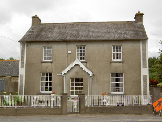 Grey Gableshouse · 899 yd
 Saint Nicholas's Church (Killamery)church/chapel · 1724 yd
 Grave YardGraveyard · 1749 yd
 St. Nicholas WellHoly well · 1750 yd
 Killamery High CrossVisitor information · 1.0 mi
 Castle (in ruins)Castle, unclassified · 1.1 mi
 KillameryVisitor information · 1.1 mi
 The SpoutMemorial · 1.1 mi
 Castle JohnCastle, tower house · 2.1 mi
 James (Jim) McKennaMemorial · 2.4 mi
 European ashEuropean ash · 3.7 mi
 Curraghdobbin HillMountain / peak · 3.7 mi