What is recorded here
Cairn is a burial cairn on Carntreena Mountain in County Donegal, Ireland. People died there or were carried there, perhaps watched over the Gweedore route or the sea beyond Tory Island. Modern visitors have cut a hollow into its top and stacked another small cairn nearby, changing the shape but continuing the human habit of marking the place.
Located at the SE edge of the flat, bare stony summit of Carntreena (Carn Traonach) Mountain, a rounded peak rising on the E edge of a blanket bog-covered plateau. The W slope of the peak falls into a small boggy valley through which a stream flows to S. The cairn commands panoramic views. Its position at the SE edge of the summit, where ground falls away steeply, immediately draws the eye to the starkly dramatic conical outline of Errigal Mountain which dominates a range of mountain peaks stretching along the horizon from E to S, with Dunlewey Lough at the foot of the mountains to S. There are also excellent views to N−NE over coastal lowlands and out to sea to Tory Island, and S−SW over the lowlands of Gweedore. Indeed, the cairn overlooks an important route way to the coastal plain west of Gweedore and northward to the coast at Gortahork.
This circular cairn (12.5m E-W; 12m N-S; H 1m at W, 1.5m at E), which gives its name to the peak, is constructed of loosely heaped small and medium-sized angular slabs and stones. It has a relatively low profile with a flattened top (diam. c. 5m) and broadly slumped sides, higher at E−SW where the ground falls away naturally.
The cairn has been damaged in the modern era: A small circular depression (diam. 2m; D 0.3-0.4m) has been hollowed out of the top of the cairn at its N end, bordered on the N arc by a low ‘wall’ (H 0.5-0.6m) of heaped up stones; probably built to create a shelter/wind-break.
A small modern cairn (max. dim. c. 1.8m; H 1m) is located 11m to SE.
Notified to NMS by Michael Gibbons
Attached images:
DG033-006----_01.JPG viewed from N, with Errigal visible in background (at R)
DG033-006----_02.JPG viewed from NW
DG033-006----_03.JPG viewed from SW
DG033-006----_04.JPG Disturbance/hollow at N edge of cairn
Compiled by: Jane O'Shaughnessy
Date of upload: 28 February 2022
Neolithic burial cairn; significant as a funerary monument reflecting early agrarian settlement in the region.
The monument record does not grant public access. Check the route and ask the landowner before entering private land.
- What survives
- Recorded monument
Places near here
 Cairn, CronalaghtPublicly named cairn; age not proved by this picture · 1.5 mi
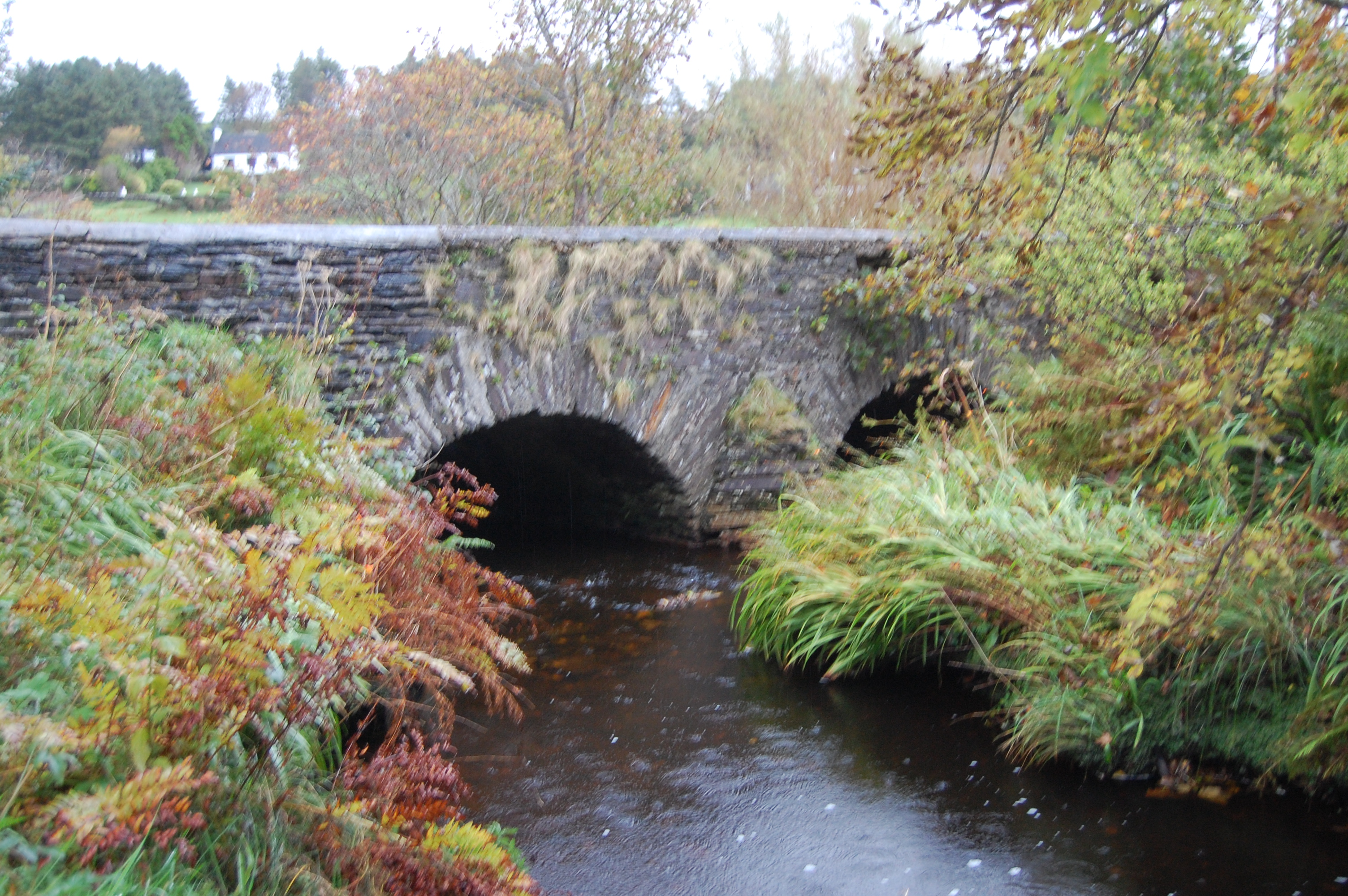 Fawnaboy Bridgebridge · 2.0 mi
 Hachured, DoonFairy fort / ringfort · 2.7 mi
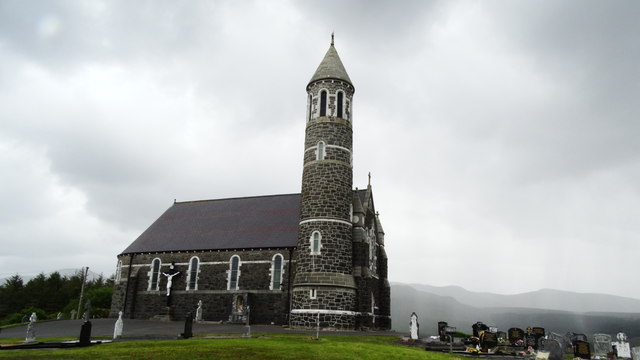 Catholic Church of the Sacred Heartchurch/chapel · 3.1 mi
 Dunlewey CentreHeritage attraction · 3.5 mi
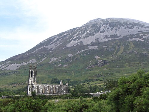 Errigal / An EaragailMountain / peak · 3.7 mi
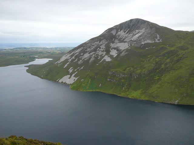 Aghla MoreMountain / peak · 3.9 mi
 Castle Bawne (in Ruins)Bawn · 4.8 mi
 MagheraroartyOfficial bathing water · 5.0 mi
 Portarthur, DerrybegOfficial bathing water · 5.8 mi
 Monterey CypressMonterey Cypress · 5.8 mi
 Maumlack Corrie HeadwallCliff · 5.8 mi