
What is recorded here
No visible stones remain on the ridge between Slievecushnabinnia and Galtymore Mountain, yet the boundary between Knocknagalty and Moneynaboola still turns there. A small circular mound marked on the 1897 map suggests people once set stones in rough pasture to make that line memorable. The mountains keep the shape even when the valley forgets it.
In rough pasture, on the ridge between Slievecushnabinnia and Galtymore Mountain, on the townland boundaries between Knocknagalty and Moneynaboola. Boundary cairns (LI050-030001-/002-) lie 300m to the SE. Not marked on the 1840 ed. OSi 6-inch map. Annotated ‘Mound’ on the 1897 ed. OSi 25-inch map. Depicted on the Cassini ed. OSi 6-inch map as a small circular shaped mound. No surface remains visible on Digital Globe orthoimage taken between 2011-2013 and on Google Earth orthoimages.
See attached Google Earth orthoimage
Compiled by: Fiona Rooney
Date of upload: 9 November 2021
The monument record does not grant public access. Check the route and ask the landowner before entering private land.
- What survives
- Recorded monument
Places near here
 CairnCairn, boundary cairn · 343 yd
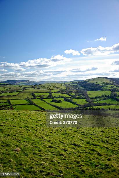 MullaghanMountain / peak · 440 yd
 Lough Curra MoundMountain / peak · 482 yd
 MoundsCairn, boundary cairn · 1742 yd
 Noel's NippleNamed rock · 1.2 mi
 Lough CurraWalking route · 1.4 mi
 Giant's Rock - Rock of AglaishNamed rock · 1.6 mi
 Aircraft Memorial 1976Memorial · 1.9 mi
 Assaroula WaterfallWaterfall · 2.1 mi
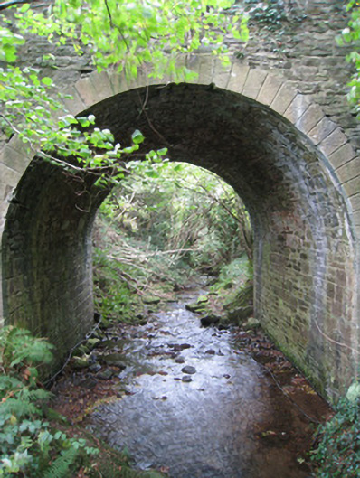 Longford Bridgebridge · 2.4 mi
 Barrack Bridgebridge · 2.5 mi
 Coopers WoodWood · 2.5 mi
Other information
Photo: Credit not shown in the picture search · Rights wording not checked; contact us if this picture should be removed