What is recorded here
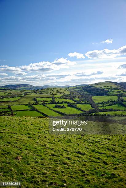
Half a kilometre west of Ballyvague, a boundary cairn still stands in rough pasture on the ridge between Slievecushnabinnia and Galtymore Mountain. It marks the edge of Knocknagalty and Drumleagh, not as a grand monument but as a practical line drawn through grass, stone and rain. People may have passed it for generations, reading the shape of the land rather than the name of the townland.
In rough pasture, on the ridge between Slievecushnabinnia and Galtymore Mountain, on the townland boundaries between Knocknagalty and Drumleagh. Boundary cairn (LI050-030001-) lies 50m to the NW. Not marked on the 1840 ed. OSi 6-inch map. Annotated ‘Mound’ on the 1897 ed. OSi 25-inch map. Depicted on the Cassini ed. OSi 6-inch map as a small circular-shaped mound. No surface remains visible on Digital Globe orthoimage taken between 2011-2013 and on Google Earth orthoimages.
See attached Google Earth orthoimage
Compiled by: Fiona Rooney
Date of upload: 9 November 2021
The monument record does not grant public access. Check the route and ask the landowner before entering private land.
- What survives
- Recorded monument
Places near here
 MullaghanMountain / peak · 34 yd
 CairnCairn, boundary cairn · 69 yd
 Lough Curra MoundMountain / peak · 703 yd
 Hut site in KnocknagaltyHut site · 1547 yd
 Noel's NippleNamed rock · 1.4 mi
 Lough CurraWalking route · 1.5 mi
 Aircraft Memorial 1976Memorial · 1.7 mi
 Giant's Rock - Rock of AglaishNamed rock · 1.8 mi
 Assaroula WaterfallWaterfall · 2.3 mi
 Coopers WoodWood · 2.3 mi
 Barrack Bridgebridge · 2.6 mi
 Longford Bridgebridge · 2.7 mi