What is recorded here
Cairn is a small boundary marker on the eastern edge of a broad plateau in County Leitrim, Ireland. It belongs to a north-south row of similar stones separating Boleybrack from Dergvone. The 1907 map called it a mound, but it is not an ancient burial or ritual site. People likely stacked the stones so neighbours could see where one townland ended and another began.
Situated at the E edge of a broad plateau. It is one of a N-S series of small cairns (diam. c. 1-2m; H 0.5m) marked only on the 1907 edition of the OS 6-inch map on a townland boundary between Boleybrack to the W and Dergvone to the E. It is described on the map in italic lettering as a 'Mound' but this small cairn is not an antiquity.
Compiled by: Michael Moore
Date of upload: 22 September, 2016
The monument record does not grant public access. Check the route and ask the landowner before entering private land.
- What survives
- Recorded monument
Places near here
.png) IndicatedSweathouse · 1.2 mi
IndicatedSweathouse · 1.2 mi Sweat Ho.Sweathouse · 1.4 mi
 Ballaghnabehy TopMountain / peak · 2.3 mi
 Penal Mass station in AltavraPenal Mass station · 2.5 mi
 ArdlougherMountain / peak · 3.2 mi
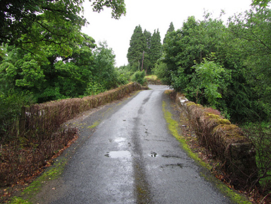 Old Bridgebridge · 3.7 mi
 The Giants GraveArchaeological place · 4.0 mi
 TobermurrySpring · 4.0 mi
 Corrard ForestForest · 4.1 mi
 Republican Garden of RemembranceMemorial · 4.5 mi
 Giants RockNamed rock · 5.6 mi
 Green IslandIslet · 6.8 mi