What is recorded here
Carnalbanagh holds a cairn marked as a battle site, perhaps from the fourteenth century, when violence and memory became entangled on open ground. The stones may have risen soon after swords stopped moving, shaping witness into form. Men may have carried rock from elsewhere, stacked it without tools, and left before dusk. That is still possible, even when absent from every record.
The official Northern Ireland record identifies this as CAIRN & BATTLE SITE: CARN. Recorded period: UNCERTAIN; C14TH; MEDIEVAL. The official map point was placed at the centre of the recorded archaeological site from the source map reference.
The monument record does not grant public access. Check the route and ask the landowner before entering private land.
- What survives
- Recorded monument
Places near here
 A.P. SITEA.P. SITE, enclosure · 645 yd
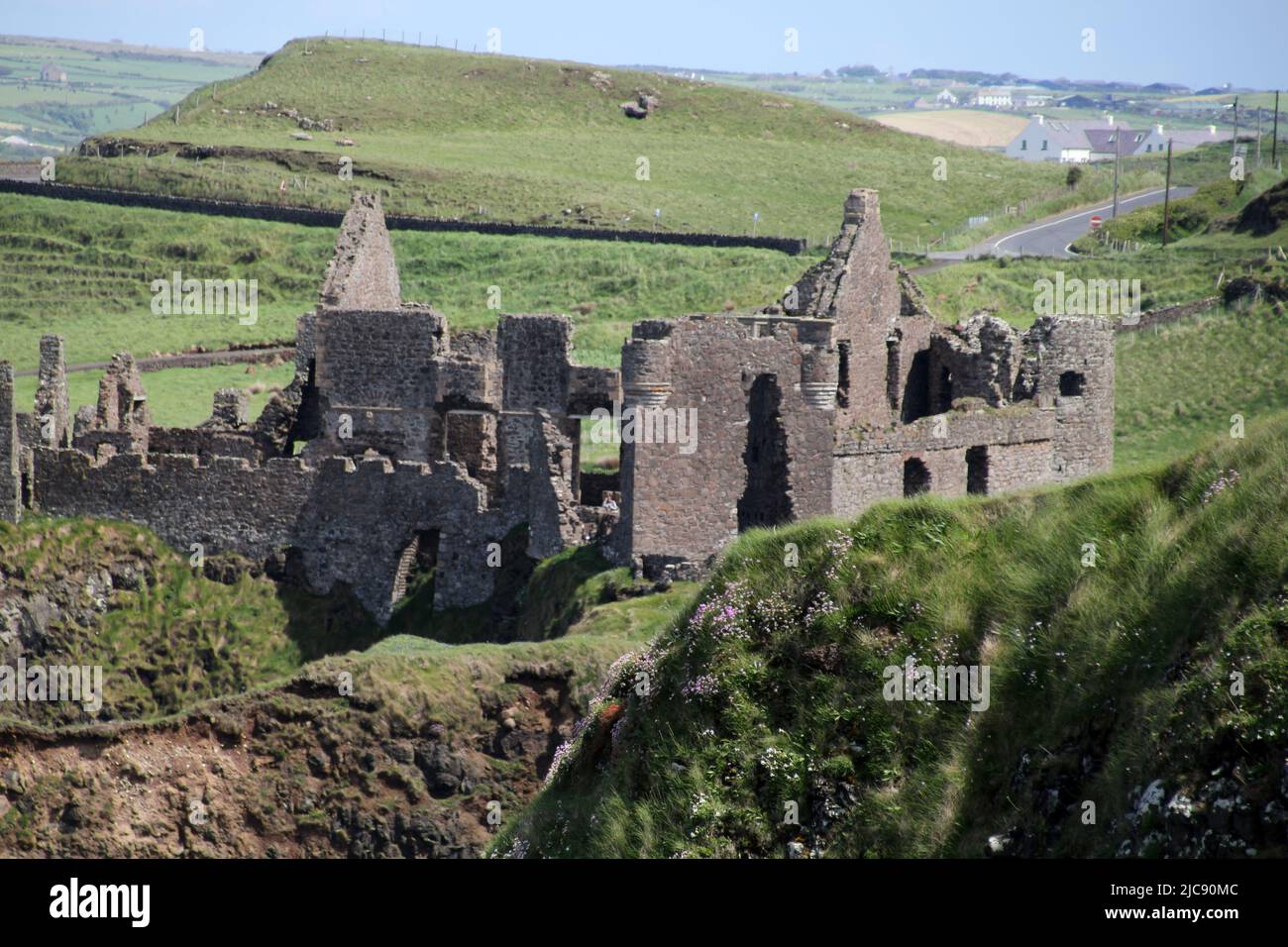 LARGE ENCLOSURE in KilnacolpaghLARGE ENCLOSURE · 1337 yd
 SlemishMountain / peak · 3.2 mi
 Craigy HillMountain / peak · 3.6 mi
 Glenarm ForestForest · 4.0 mi
 Ballygilbert HillMountain / peak · 4.2 mi
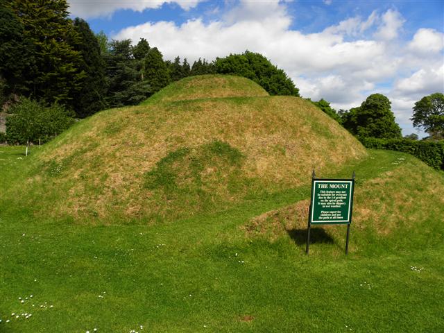 The MountViewpoint · 5.2 mi
 Presbyterian ChurchChurch · 5.2 mi
 Glenarm CastleCastle · 5.2 mi
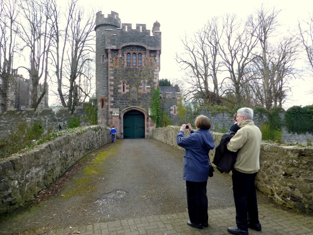 CASTLE (site of) in Town Parks (glenarm)CASTLE (site of) · 5.2 mi
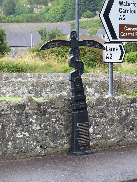 Millennium MilepostVisitor information · 5.4 mi
 FRANCISCAN FRIARY & CHURCH (in ruins) in Cloney, GlenarmFRANCISCAN FRIARY & CHURCH (in ruins) · 5.4 mi