What is recorded here
The official Northern Ireland record identifies this as CAIRN & ALIGNMENT. Recorded period: PREHISTORIC. Recorded protection: Scheduled. The official map point was placed at the centre of the recorded archaeological site from the source map reference.
Neolithic cairn and stone alignment; dates to the earlier prehistoric period, around 3500–2500 BCE. It is part of the Beaghmore complex, a significant group of megalithic monuments in County Tyrone, reflecting early ceremonial or funerary practices in the region.
The monument record does not grant public access. Check the route and ask the landowner before entering private land.
- What survives
- Recorded monument
Places near here
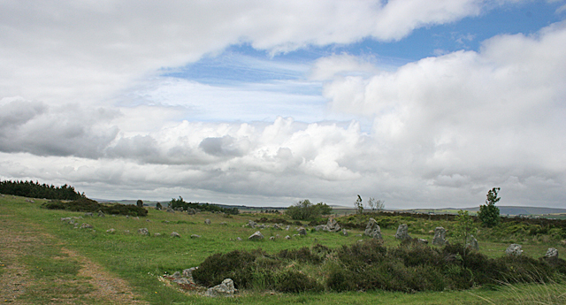 BeaghmoreArchaeological place · 168 yd
 Beaghmore Stone Circle CArchaeological place · 179 yd
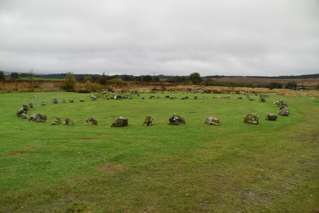 Beaghmore Stone Circle DArchaeological place · 197 yd
 Beaghmore Stone CirclesVisitor information · 228 yd
 Evishessan BridgeBridge · 1.6 mi
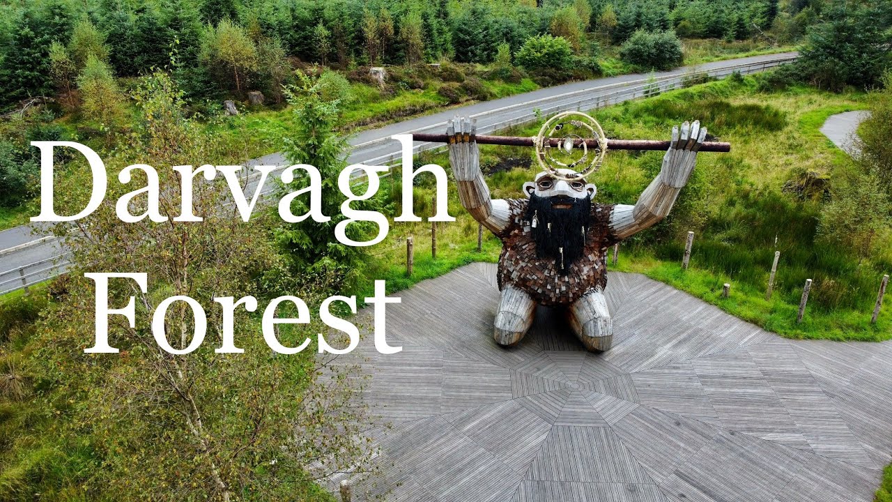 Davagh ForestForest · 1.8 mi
 OughtmoreMountain / peak · 2.4 mi
 Formil WoodForest · 3.0 mi
 Lough FeaWalking route · 4.8 mi
 CarnanellyMountain / peak · 4.9 mi
 Kildress Old ChurchRuins · 6.3 mi
 PLANTATION HOUSE & BAWN in THE BonnPLANTATION HOUSE & BAWN · 8.4 mi