
What is recorded here
Detached three-bay single-storey goods shed, built c. 1850, with single-storey addition to west gable. Pitched slate roofs, with cut limestone copings, having cut limestone chimneystack to addition, and cast-iron rainwater goods. Catslide canopies to long sides, with scalloped timber boarded valances to north side. Coursed random rubble walls, cut limestone quoins and having red brick quoins to addition. Segmental-headed carriage entrances to south elevation and east gable, having cut-stone block-and-start surrounds and double-leaf timber battened doors, double-leaf metal sheet to east gable. Inserted square-headed carriage entrance to west gable with timber battened double-leaf doors and brick surrounds. Segmental-arched windows to upper north elevation and east gable and square-headed window to south elevation, with cut-stone block-and-start surrounds and cut limestone sills, latter window having six-over-three pane timber sliding sash window, other windows being fixed timber, with replacement uPVC to addition. Situated adjacent to the railway tracks at the south-east end of Cahir Railway Station.
This goods shed has survived almost intact. It has many features of note, typical of such structures, such as the fine arched carriage entrances and the oversailing canopies to the long sides. Its general walling, typical of goods sheds, is rougher than that of the railway station, emphasising its more utilitarian function. Together with the station, the waiting room and the footbridge, this goods shed is part of a significant group of railway structures.
This does not grant access. Most recorded buildings are privately owned; view them only from public ground unless the owner allows entry.
Places near here
 Cahir Railway Stationrailway station · 93 yd
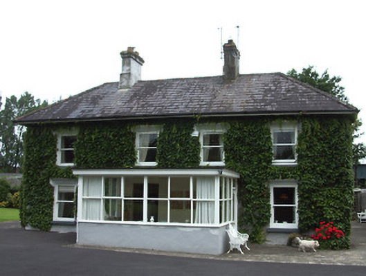 Bellevue Cottagehouse · 149 yd
 Ladys WellHoly well · 435 yd
 Cahir CastleHeritage attraction · 560 yd
 Caher AbbeyHeritage attraction · 563 ydSiege of Cahir Castlesiege · 573 yd
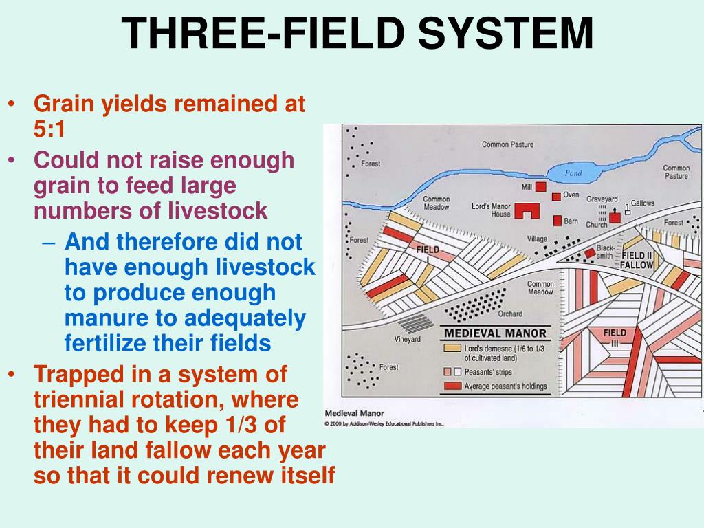 Field system in Caherabbey LowerField system · 1164 yd
 Site of CastleCastle, unclassified · 1460 yd
 Pedunculate OakPedunculate Oak · 1.1 mi
 European YewEuropean Yew · 1.4 mi
 Bawn in CloghabreedyBawn · 1.8 mi
 Slieveanard NE TopMountain / peak · 3.1 mi
Other information
Photo: National Inventory of Architectural Heritage · Website use allowed for educational or private purposes with source credit