What is recorded here
Cahermore is a broken stone ring on a Galway rise, its wall hidden beneath grass and forgotten fields. The fort has surrendered most of its shape to time, leaving only a scarp and a straight length of wall to hint at the circle. It is the kind of place where human ambition becomes landscape again, swallowing its own boundaries until the land refuses to remember the difference.
On a rise in gently undulating grassland. Very poorly preserved subcircular cashel (E-W 36m, N-S 33m) defined from SSE to SW by a grassed-over drystone wall overlain by a field wall. Apart from a straight 9m length of wall, just inside the limits of the monument at W, no visible surface trace of the enclosing element survives from SW to NW. From NW to SSE it is defined by a scarp.
The above description is derived from the published 'Archaeological Inventory of County Galway Vol. II - North Galway'. Compiled by Olive Alcock, Kathy de hÓra and Paul Gosling (Dublin: Stationery Office, 1999).
Date of upload: 05 August 2010
The monument record does not grant public access. Check the route and ask the landowner before entering private land.
- What survives
- Recorded monument
Places near here
 CahermoreArchaeological place · 17 yd
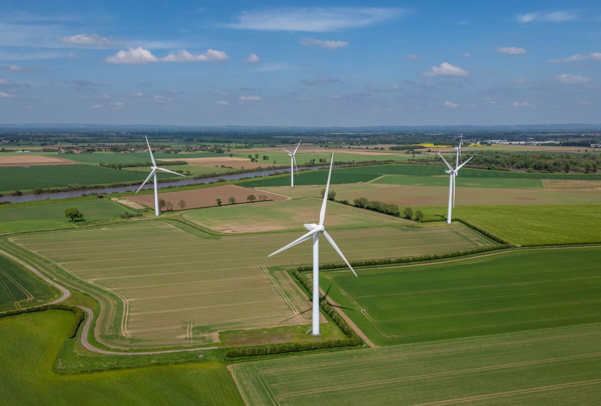 Field system in BallynagittaghField system · 802 yd
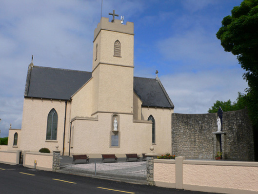 Saint Conleth's Catholic Churchchurch/chapel · 1566 yd
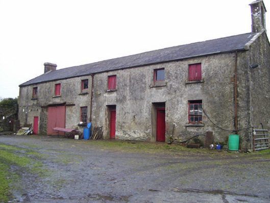 Blindwell Housefarmyard complex · 1597 yd
 Bawn in BlindwellBawn · 1600 yd
 CastleCastle, tower house · 2.2 mi
 European YewEuropean Yew · 2.6 mi
 Mass RockNamed rock · 3.8 mi
 Pesooge PlantationForest · 3.9 mi
 Kilcoona Round TowerHeritage attraction · 8.8 mi
 Otter IslandIslet · 11 mi
 Inis Mhic an TrírIsland · 11 mi