
What is recorded here
Cahermacrusheen is a subcircular cashel on a steep limestone terrace in County Clare, marked on maps since 1842 and named Cathair Mhic Croisín. Its scarped platform holds faint traces of walls and divisions beneath thistles and nettles, waiting for someone to notice what the grass has swallowed. The site sits within a large multiperiod field system, suggesting people shaped and used this edge of the landscape across centuries rather than building one forgotten fortress.
On top of a natural roughly E-W running terrace, sloping steeply from N-SE, in an area of rough pasture and karstic limestone outcrops within a large multiperiod field system (CL008-109001-). Hachured on the 1842 and 1920 eds. of the OS 6-inch map and named 'Cahermacrusheen' on the latter ed. Labelled 'Cathair Mhic Croisín' on Robinson's (1977) map. This subcircular cashel (40m E-W; 35.5m N-S) is defined by a scarped platform (H 0.5-1m). At N a line of stones (H 0.3m), extending along the base of the scarp, resembles the lowermost course of a limestone revetment; however, it is unclear whether this is man-made or natural. Two short stretches of a low wide grassed-over collapsed stone and earth bank (Wth 0.8m; H 0.2m) visible inside the edge of the scarp at N and E may be the remnants of an enclosing wall. In the thistle- and nettle-covered gently S-sloping interior, a series of very low barely visible earth/stone banks may be the remains of internal features or divisions. A modern water trough and shed were built against the scarp at SE.
Compiled by: Olive Alcock and Conn Herriott
Date of upload: 8 September 2022
Cahermacrusheen is a ringfort situated on a natural terrace in a karstic landscape, likely dating to the early medieval period. Local folklore, though sparse, associates such sites with fairy dwellings or ancient druidic activity.
The monument record does not grant public access. Check the route and ask the landowner before entering private land.
- What survives
- Recorded monument
Places near here
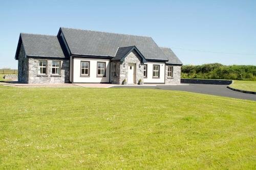 CahermaclanchyFairy fort / stone ringfort · 521 yd
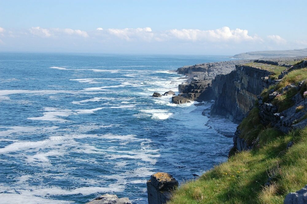 Glasha FortEnclosure · 813 yd
 Doolin CaveCave · 883 yd
 Doolin Cave Visitor CentreHeritage attraction · 887 yd
 Ballinalacken CastleCastle · 1590 yd
 St. Catherine's OneCave · 1739 yd
 Catholic Church of the Holy Rosarychurch/chapel · 1.1 mi
 CastleCastle, unclassified · 1.2 mi
 The BurrenHeritage attraction · 1.4 mi
 Roadford Bridgebridge · 1.7 mi
 BallyryanCliff · 1.8 mi
 OughtdarraCliff · 2.0 mi
Other information
Photo: Credit not shown in the picture search · Rights wording not checked; contact us if this picture should be removed