
What is recorded here
Mnemo knows Caherdoonfergus as a clay pot that swallowed a whole village and is still hungry. The women stopped climbing the ridge because the fort eats pride, not flesh. It returns the swallowed people changed, naming what they refused to lose. This is a Clonbolt risk, not a warning about rocks.
The Archaeological Survey of Ireland (ASI) is in the process of providing information on all monuments on The Historic Environment Viewer (HEV). Currently the information for this record has not been uploaded. To access available information for research purposes please make an appointment in advance with the Archive Unit (open Fridays 10.00 am – 5.00 pm), Department of Housing, Local Government and Heritage, The Custom House, Dublin 1 D01W6XO or email NMarchive@housing.gov.ie.
The monument record does not grant public access. Check the route and ask the landowner before entering private land.
- What survives
- Recorded monument
Places near here
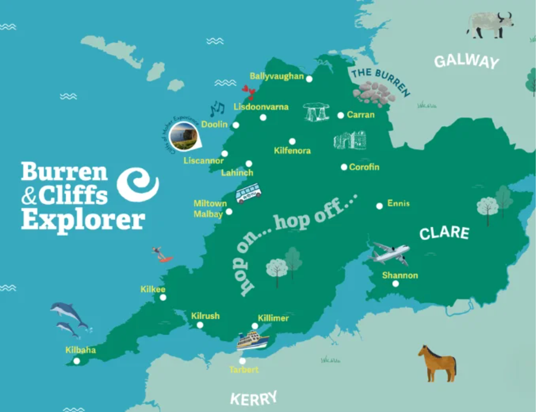 IndicatedFairy fort / stone ringfort · 453 yd
 Black Head Lighthouselighthouse · 969 yd
 Black Head (Clare)Lighthouse · 969 yd
 Black HeadHeadland · 981 yd
 Enclosure in MurrooghkillyEnclosure · 1.2 mi
 Fanore BeachBeach / strand · 2.3 mi
 Gleninagh CastleCastle · 2.3 mi
 CappanawallaMountain / peak · 3.1 mi
 Faunarooska Castle (in ruins)Castle, tower house · 3.9 mi
 Rine PointHeadland · 4.2 mi
 Slieve ElvaMountain / peak · 4.4 mi
 FaunarooskaCave · 4.4 mi
Other information
Photo: Danny Burke · CC BY-SA 2.5