
What is recorded here
On a rise in pastureland. Circular cashel (diam. 50.4m), in fair condition, defined by a drystone wall. A gap (Wth c. 2m) at SSE may be original. A laneway cuts through the NE quadrant. Redington (1916a, 56) and Westropp (1919a, 181) refer to the presence of a Man-made underground passage (GA096-030001-) as well as late house foundations and several rectangular enclosures within the interior; some of the walls were built with mortar. Due to the dense overgrowth, trees and bushes none of these features could be identified. (McCaffrey 1952, 152, no. 25)
Compiled by: Galway Archaeological Survey, UCG
Date of upload: 11 January 2017
The monument record does not grant public access. Check the route and ask the landowner before entering private land.
- What survives
- Recorded monument
Places near here
 IndicatedFairy fort / stone ringfort · 725 yd
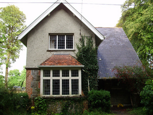 Rockfield Housegate lodge · 902 yd
 WillmountCountry house · 1568 yd
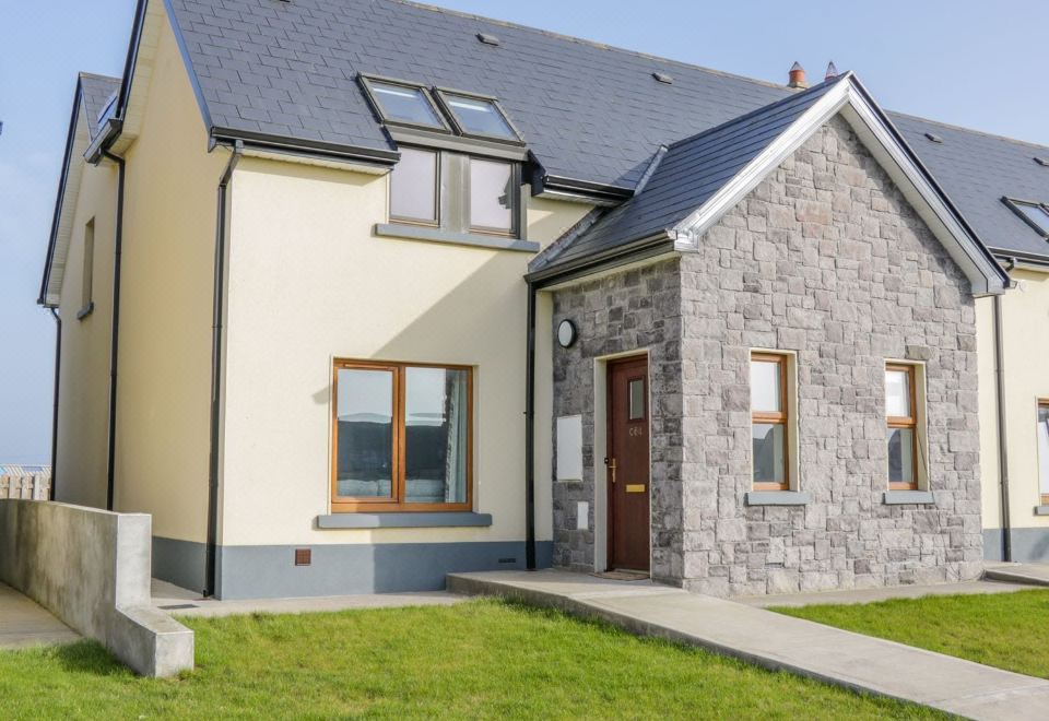 CahermoreFairy fort / stone ringfort · 1.4 mi
 Moyard WoodWood · 2.2 mi
 Site of Shanbally CastleCastle, unclassified · 2.3 mi
 Derrydonnell Castle (in ruins)Castle, tower house · 2.6 mi
 Athenry AbbeyHeritage attraction · 2.7 mi
 Athenry CastleHeritage attraction · 2.8 mi
 Horse-chestnutHorse-chestnut · 3.0 mi
 First Battle of Athenrybattle · 3.5 mi
 Leadmine HillMountain / peak · 9.0 mi
Other information
Photo: Credit not shown in the picture search · Rights wording not checked; contact us if this picture should be removed