What is recorded here
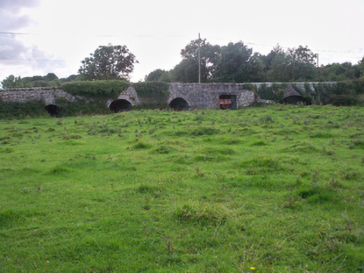
In level farmland. Poorly preserved subcircular cashel (diam. c. 27m) defined by a collapsed drystone wall, which is overlain from W to N by a field boundary. Redington (1916a, 52) refers to internal divisions within the interior but due to dense overgrowth they were not discernible. (McCaffrey 1952, 185, no. 92)
Compiled by: Galway Archaeological Survey, UCG
Date of upload: 9 January 2017
The monument record does not grant public access. Check the route and ask the landowner before entering private land.
- What survives
- Recorded monument
Places near here
 CaherFairy fort / stone ringfort · 379 yd
 CahermoreFairy fort / stone ringfort · 386 yd
 Dunkellin Bridgebridge · 1430 yd
 Dunkellin Castle (in ruins)Castle, tower house · 1528 yd
 St. Colmans Catholic ChurchChurch · 1716 yd
 Castlegar (in ruins)Castle, unclassified · 1754 yd
 Kilcornan WoodWood · 1.8 mi
 Kilcornan ForestWood · 1.9 mi
 Drumacoo Monastic SiteHeritage attraction · 3.8 mi
 Goose IslandIslet · 7.4 mi
 InishcorraIslet · 7.7 mi
 Ardfry PointHeadland · 7.9 mi