What is recorded here
Caherbaun is a ruined ringfort on a south-facing slope above the Sullane river, its earthen bank stripped by quarrying and choked with grass. The missing stone likely fed local walls or roads, transferring the fort's substance into ordinary life. What remains is a shallow scar rather than a proud rampart, yet the shape still holds the horizon and the river below.
In pasture, on S-facing slope, overlooking Sullane river. Circular area (diam. c. 30m) enclosed by earthen bank (H 1.5m) W->SE; disused farm buildings to SSE; quarried S->W. Bank heavily overgrown; appears to be stone-faced externally. Quarry extends into SW and part of SE quadrant; interior originally raised on S side to compensate for hillslope; N half heavily overgrown.
The above description is derived from the published 'Archaeological Inventory of County Cork. Volume 3: Mid Cork' (Dublin: Stationery Office, 1997). In certain instances the entries have been revised and updated in the light of recent research.
Date of upload/revision: 14 January 2009
Caherbaun is a circular earthen ringfort, likely dating to the early medieval period, situated on a south-facing slope overlooking the Sullane River. Local tradition associates such sites with fairy folklore, and they were historically considered sacred or inhabited by supernatural beings.
The monument record does not grant public access. Check the route and ask the landowner before entering private land.
- What survives
- Recorded monument
Places near here
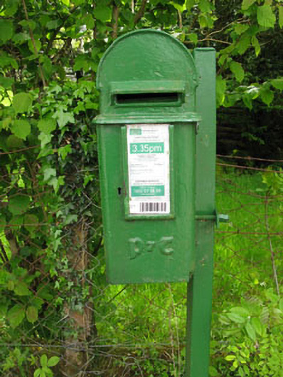 post boxpost box · 942 yd
 Lissacresig Stone CircleArchaeological place · 951 yd
 Scoil Náisiúnta Cúil an Bhuacaigh [Coolavokig O'Donovan National School]school · 979 yd
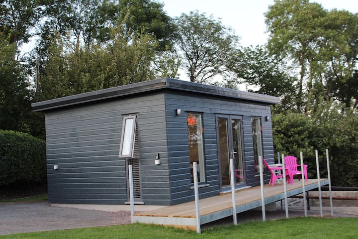 LissacresigFairy fort / earthen ringfort · 1415 yd
 Carrigaphooca CastleCastle · 2.3 mi
 Curraheen WoodWood · 3.0 mi
 Cnoc na nUlán (mullach thoir)Mountain / peak · 3.2 mi
 Dundareirke Castle (in Ruins)Castle, tower house · 3.3 mi
 Kealaboane WoodWood · 3.5 mi
 KnockullaneMountain / peak · 3.6 mi
 European long distance path E8 - part IrelandWalking route · 4.1 mi
 Macroom WalksVisitor information · 4.9 mi